Distance between  Clonlara and
  Carrickbeg
54.57 mi Straight Distance
67.60 mi Driving Distance
1 hour 29 mins Estimated Driving Time
The straight distance between Clonlara (Clare) and Carrickbeg (Tipperary) is 54.57 mi, but the driving distance is 67.60 mi.
It takes to go from Clonlara to Carrickbeg.
Driving directions from Clonlara to Carrickbeg
Distance in kilometers
Straight distance: 87.81 km. Route distance: 108.76 km
Clonlara, Ireland
Latitude: 52.7173 // Longitude: -8.55691
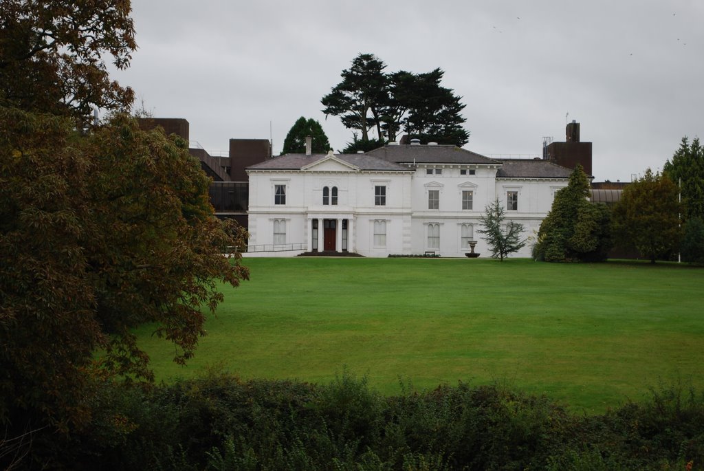
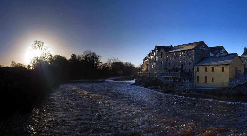
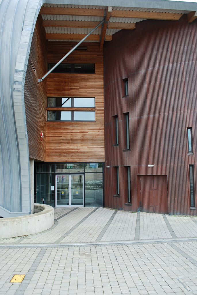
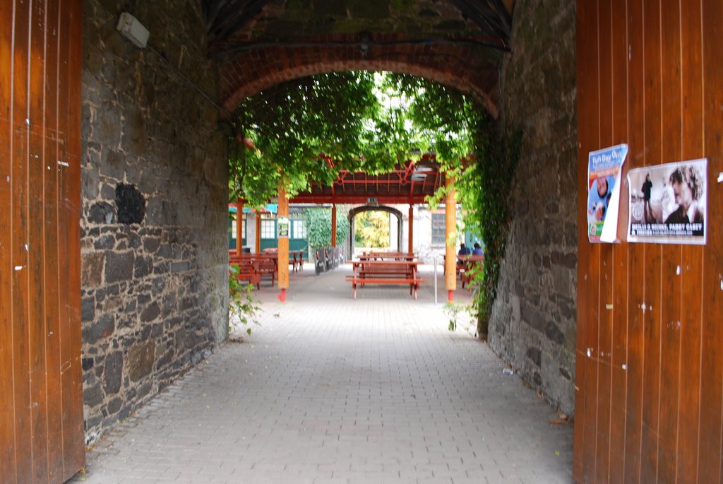
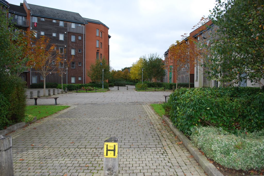
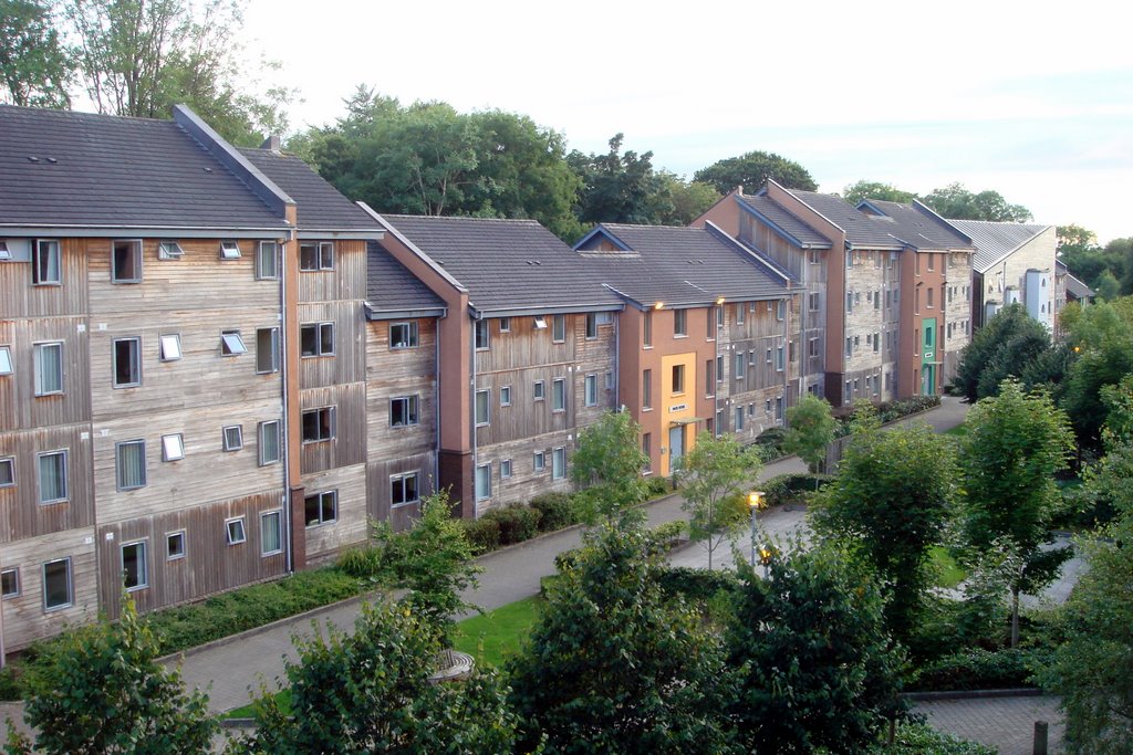
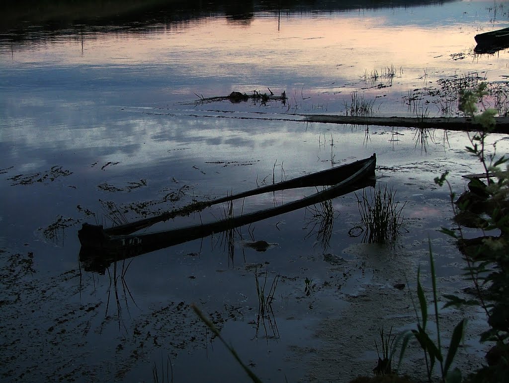
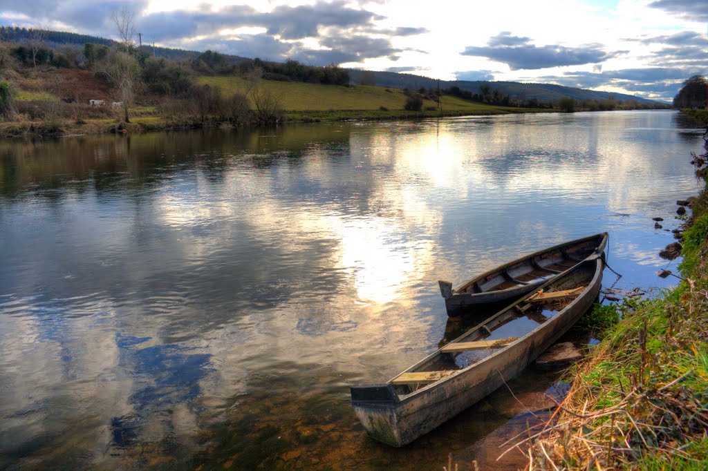
Photos of Clonlara
Clonlara Weather

Predicción: Broken clouds
Temperatura: 9.9°
Humedad: 95%
Hora actual: 12:31 AM
Amanece: 06:24 AM
Anochece: 08:41 PM
Carrickbeg, Ireland
Latitude: 52.3418 // Longitude: -7.41468
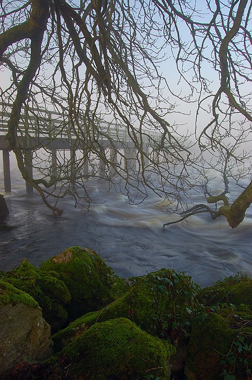
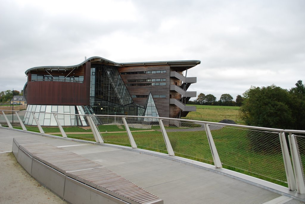
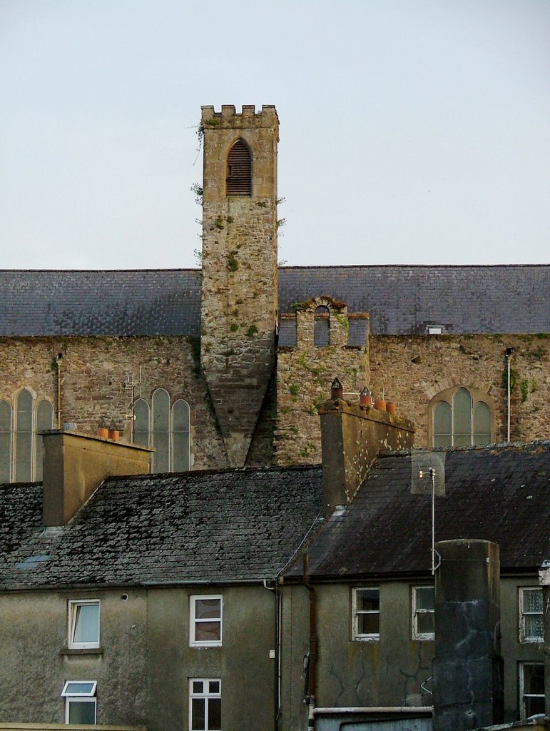
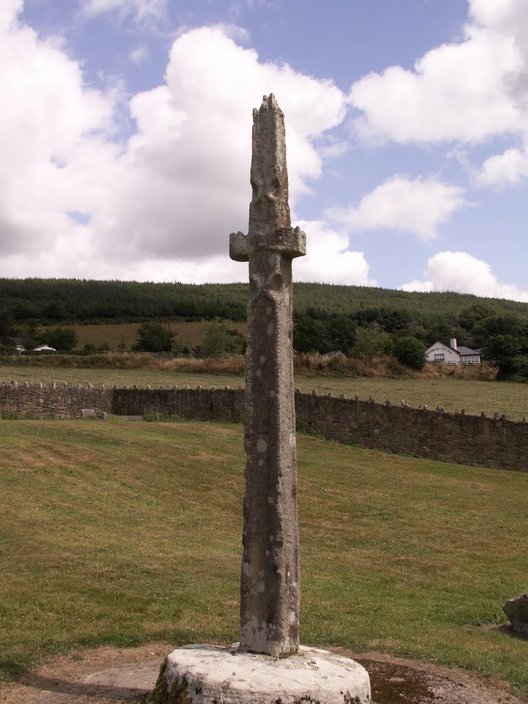
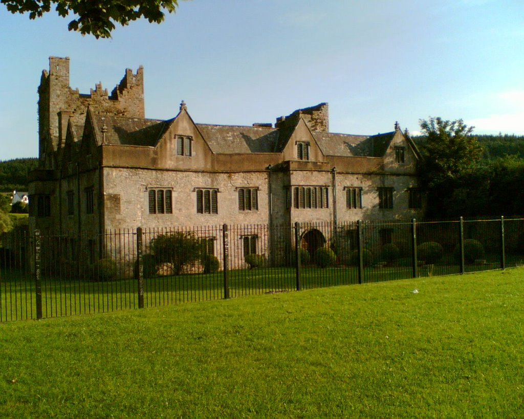
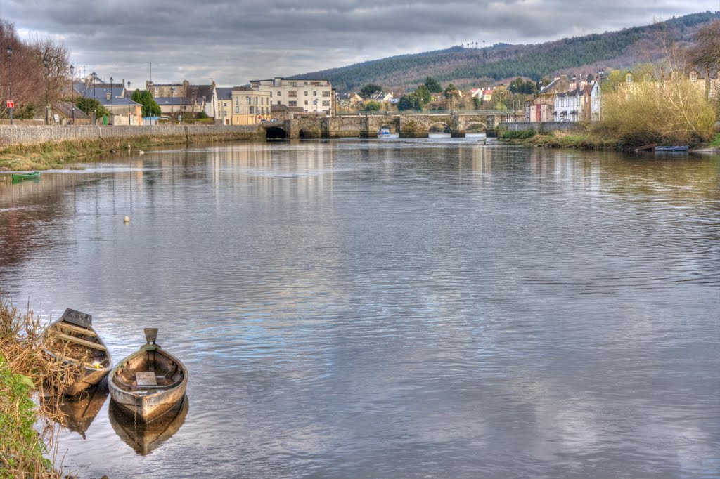
Photos of Carrickbeg
Carrickbeg Weather

Predicción: Broken clouds
Temperatura: 10.1°
Humedad: 85%
Hora actual: 12:31 AM
Amanece: 06:20 AM
Anochece: 08:36 PM


