
Distance between  Clashmore and
  Blacklion
158.39 mi Straight Distance
239.45 mi Driving Distance
3 hours 51 mins Estimated Driving Time
The straight distance between Clashmore (Waterford) and Blacklion (Cavan) is 158.39 mi, but the driving distance is 239.45 mi.
It takes to go from Clashmore to Blacklion.
Driving directions from Clashmore to Blacklion
Distance in kilometers
Straight distance: 254.85 km. Route distance: 385.27 km
Clashmore, Ireland
Latitude: 52 // Longitude: -7.81667
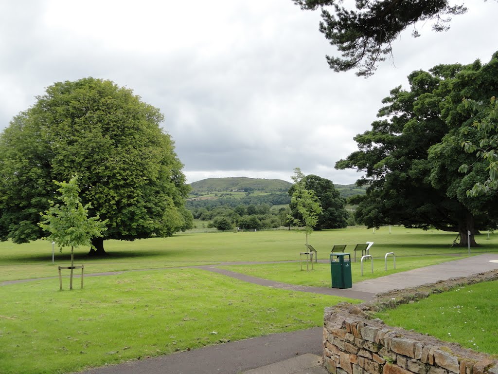
Photos of Clashmore
")


Clashmore Weather

Predicción: Scattered clouds
Temperatura: 9.4°
Humedad: 91%
Hora actual: 10:57 PM
Amanece: 06:25 AM
Anochece: 08:35 PM
Blacklion, Ireland
Latitude: 54.2921 // Longitude: -7.87513
Photos of Blacklion


 no parque de Telcoo.")
Blacklion Weather

Predicción: Overcast clouds
Temperatura: 9.5°
Humedad: 95%
Hora actual: 01:00 AM
Amanece: 06:20 AM
Anochece: 08:41 PM


