Distance between  Castletown-Bearhaven and
  Castleblakeney
136.84 mi Straight Distance
193.13 mi Driving Distance
3 hours 45 mins Estimated Driving Time
The straight distance between Castletown-Bearhaven (Cork) and Castleblakeney (Galway) is 136.84 mi, but the driving distance is 193.13 mi.
It takes to go from Castletown-Bearhaven to Castleblakeney.
Driving directions from Castletown-Bearhaven to Castleblakeney
Distance in kilometers
Straight distance: 220.17 km. Route distance: 310.75 km
Castletown-Bearhaven, Ireland
Latitude: 51.6515 // Longitude: -9.91033
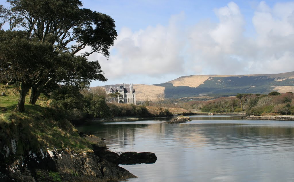
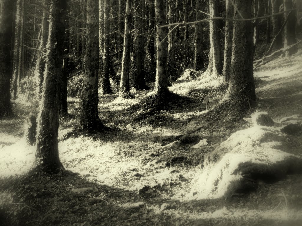
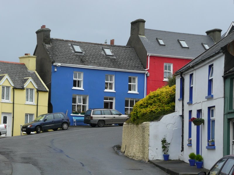
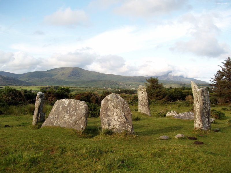
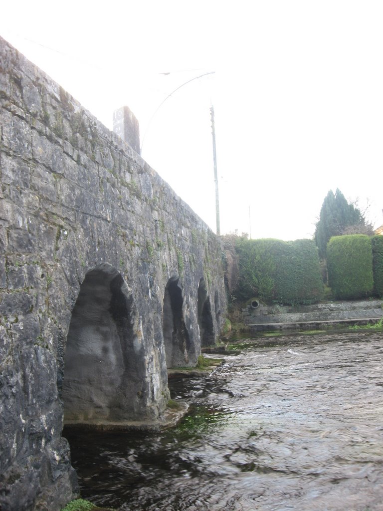
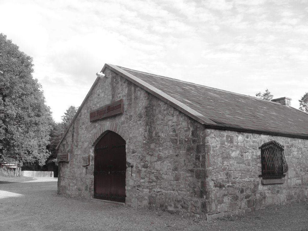
Photos of Castletown-Bearhaven
Castletown-Bearhaven Weather

Predicción: Scattered clouds
Temperatura: 10.1°
Humedad: 74%
Hora actual: 01:33 AM
Amanece: 06:32 AM
Anochece: 08:44 PM
Castleblakeney, Ireland
Latitude: 53.4306 // Longitude: -8.4793
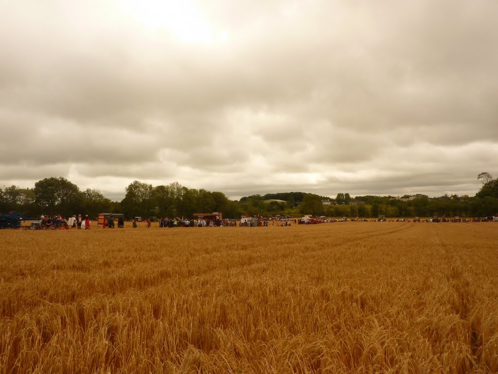
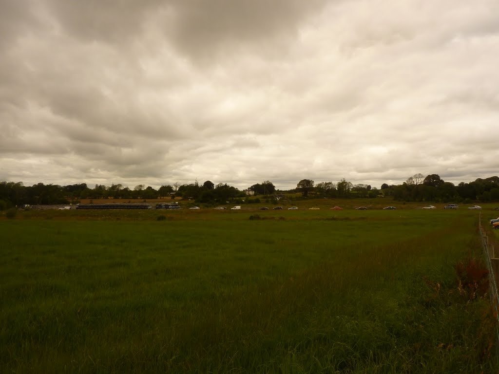
Photos of Castleblakeney
Castleblakeney Weather

Predicción: Overcast clouds
Temperatura: 9.5°
Humedad: 94%
Hora actual: 01:33 AM
Amanece: 06:22 AM
Anochece: 08:43 PM


