
Distance between  Castleblakeney and
  Caherconlish
57.72 mi Straight Distance
84.91 mi Driving Distance
1 hour 27 mins Estimated Driving Time
The straight distance between Castleblakeney (Galway) and Caherconlish (Limerick) is 57.72 mi, but the driving distance is 84.91 mi.
It takes to go from Castleblakeney to Caherconlish.
Driving directions from Castleblakeney to Caherconlish
Distance in kilometers
Straight distance: 92.87 km. Route distance: 136.62 km
Castleblakeney, Ireland
Latitude: 53.4306 // Longitude: -8.4793
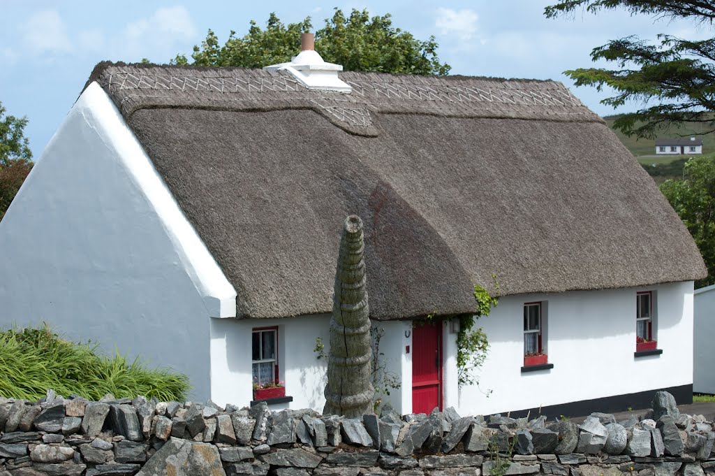
Photos of Castleblakeney


Castleblakeney Weather

Predicción: Broken clouds
Temperatura: 8.2°
Humedad: 85%
Hora actual: 09:13 AM
Amanece: 06:24 AM
Anochece: 08:41 PM
Caherconlish, Ireland
Latitude: 52.5952 // Longitude: -8.4723
Photos of Caherconlish


")

Caherconlish Weather

Predicción: Scattered clouds
Temperatura: 9.7°
Humedad: 89%
Hora actual: 09:13 AM
Amanece: 06:26 AM
Anochece: 08:39 PM


