Distance between  Carrigtwohill and
  Bruff
Bruff
41.03 mi Straight Distance
59.54 mi Driving Distance
1 hour 11 mins Estimated Driving Time
The straight distance between Carrigtwohill (Cork) and Bruff (Limerick) is 41.03 mi, but the driving distance is 59.54 mi.
It takes to go from Carrigtwohill to Bruff.
Driving directions from Carrigtwohill to Bruff
Distance in kilometers
Straight distance: 66.01 km. Route distance: 95.81 km
Carrigtwohill, Ireland
Latitude: 51.9105 // Longitude: -8.25996
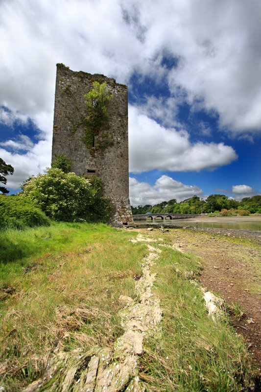
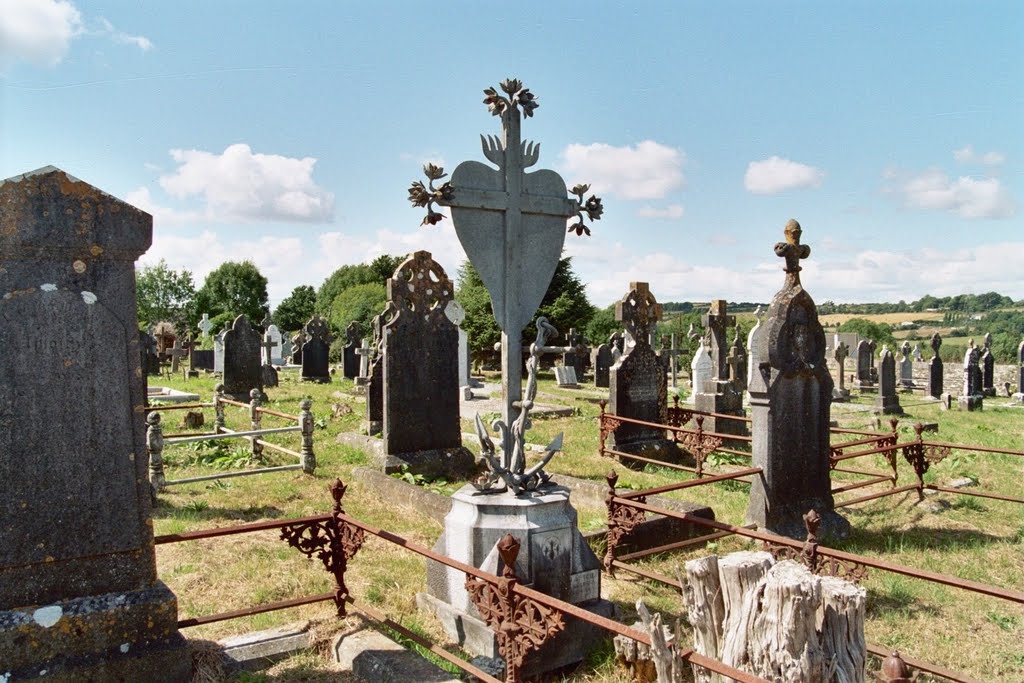
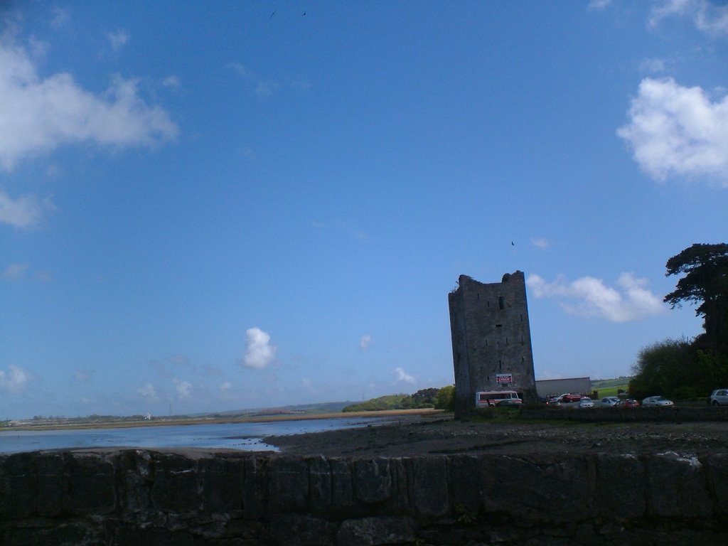
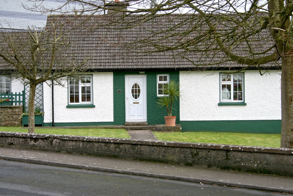
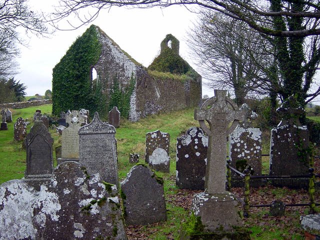
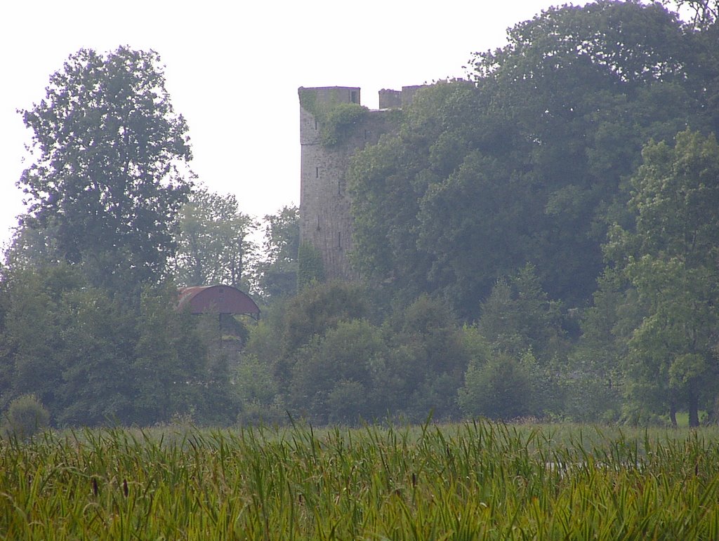
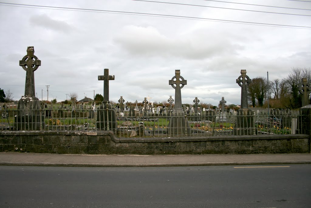
Photos of Carrigtwohill
Carrigtwohill Weather

Predicción: Few clouds
Temperatura: 6.8°
Humedad: 81%
Hora actual: 11:34 PM
Amanece: 06:31 AM
Anochece: 08:33 PM
Bruff, Ireland
Latitude: 52.4785 // Longitude: -8.54231
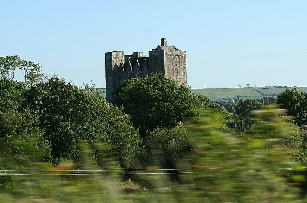
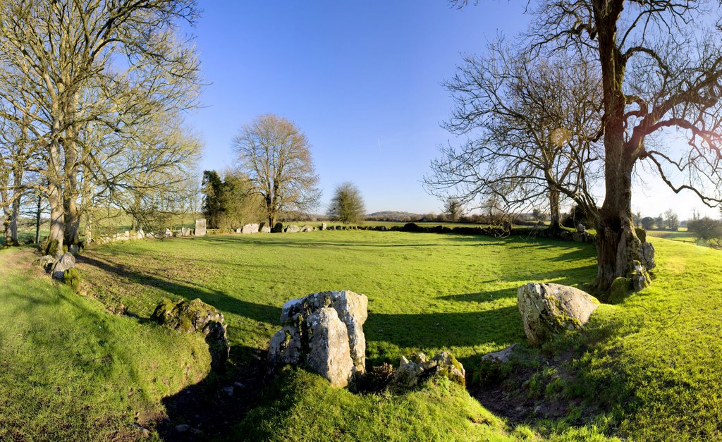
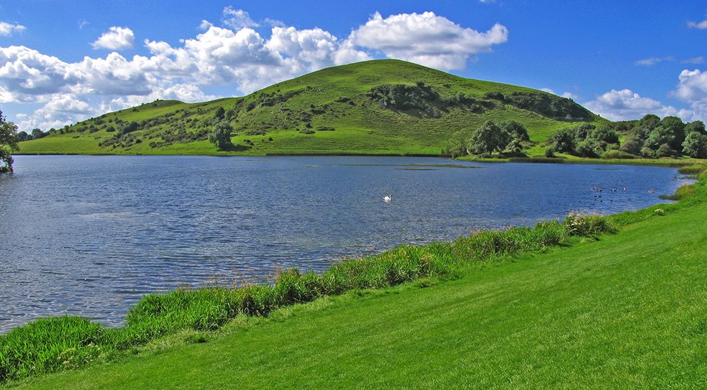
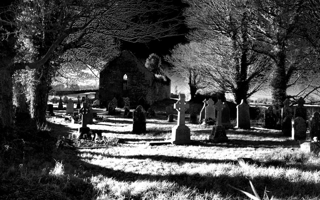
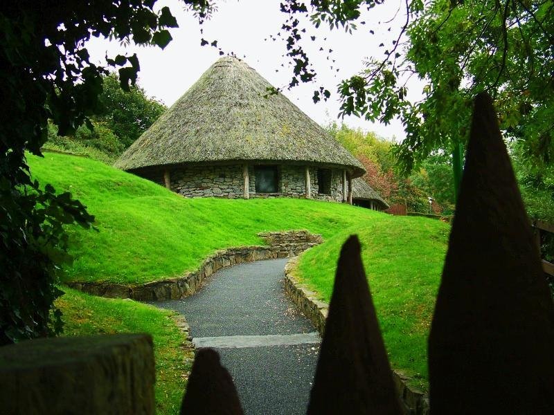
Photos of Bruff
Bruff Weather

Predicción: Clear sky
Temperatura: 5.7°
Humedad: 85%
Hora actual: 11:34 PM
Amanece: 06:31 AM
Anochece: 08:35 PM


