
Distance between  Camp and
  Bullaun
91.03 mi Straight Distance
129.61 mi Driving Distance
2 hours 15 mins Estimated Driving Time
The straight distance between Camp (Kerry) and Bullaun (Galway) is 91.03 mi, but the driving distance is 129.61 mi.
It takes 2 hours 42 mins to go from Camp to Bullaun.
Driving directions from Camp to Bullaun
Distance in kilometers
Straight distance: 146.47 km. Route distance: 208.55 km
Camp, Ireland
Latitude: 52.2209 // Longitude: -9.90892
Photos of Camp


Camp Weather

Predicción: Clear sky
Temperatura: 8.2°
Humedad: 72%
Hora actual: 12:00 AM
Amanece: 05:37 AM
Anochece: 07:40 PM
Bullaun, Ireland
Latitude: 53.25 // Longitude: -8.55
Photos of Bullaun


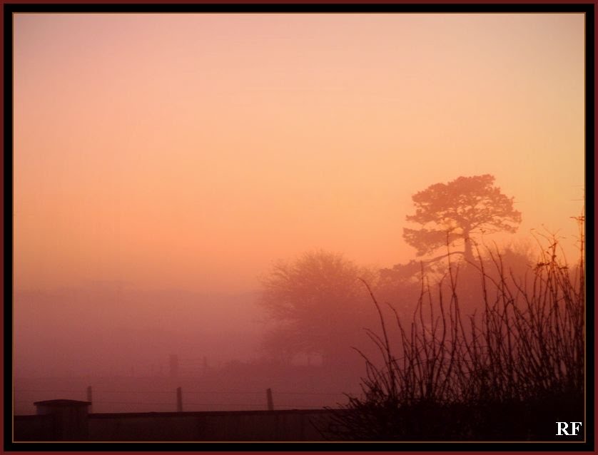

![Turoe on a sunny evening [Sep07]](/photos/4802925.jpg "Turoe on a sunny evening [Sep07]")

Bullaun Weather

Predicción: Few clouds
Temperatura: 7.5°
Humedad: 80%
Hora actual: 08:10 PM
Amanece: 06:29 AM
Anochece: 08:37 PM


