Distance between  Cahersiveen and
  Blanchardstown
189.30 mi Straight Distance
220.06 mi Driving Distance
3 hours 33 mins Estimated Driving Time
The straight distance between Cahersiveen (Kerry) and Blanchardstown (Dublin) is 189.30 mi, but the driving distance is 220.06 mi.
It takes to go from Cahersiveen to Blanchardstown.
Driving directions from Cahersiveen to Blanchardstown
Distance in kilometers
Straight distance: 304.59 km. Route distance: 354.08 km
Cahersiveen, Ireland
Latitude: 51.9483 // Longitude: -10.2238
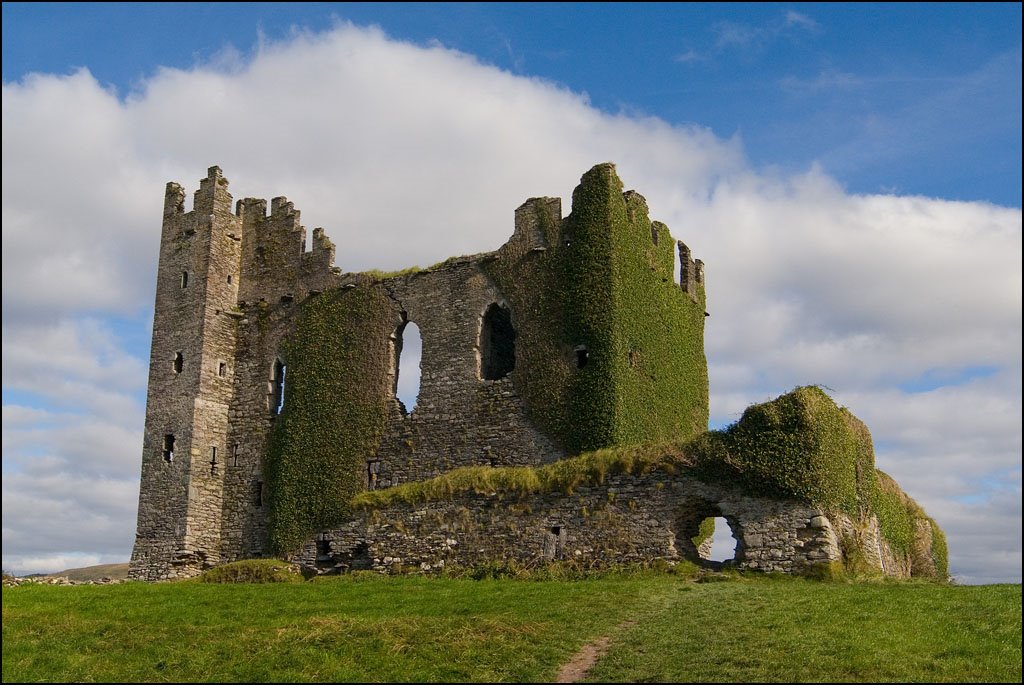
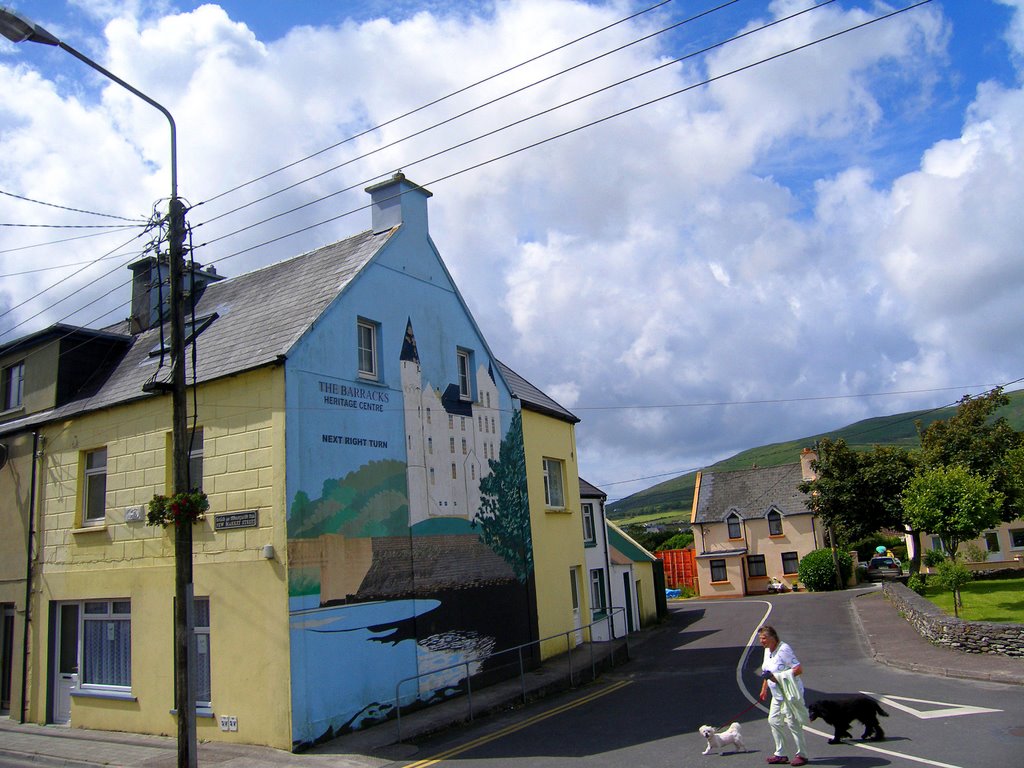
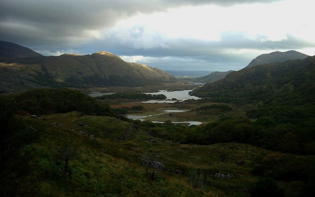
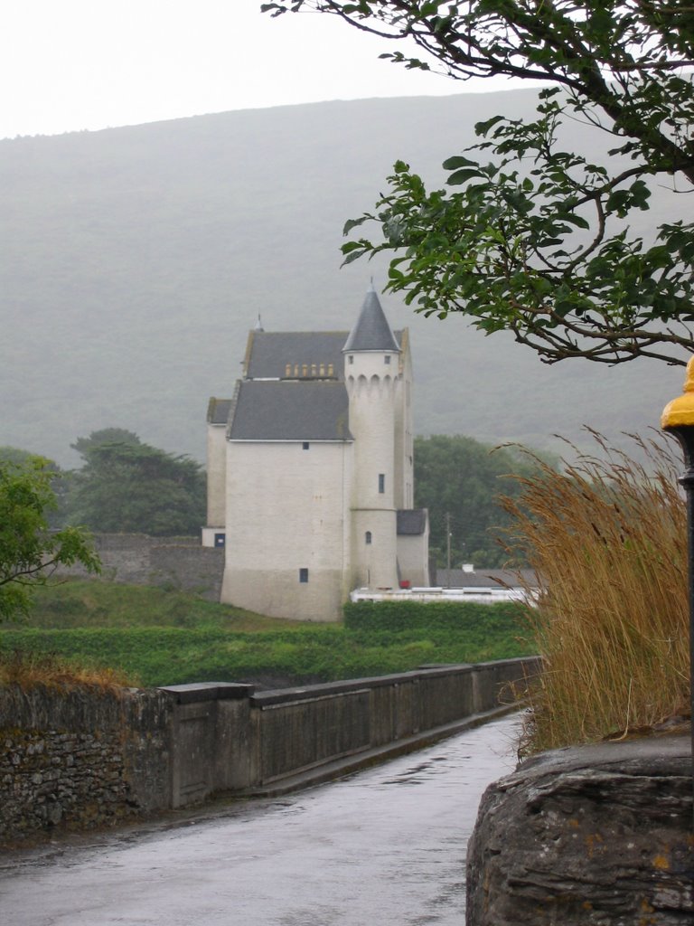
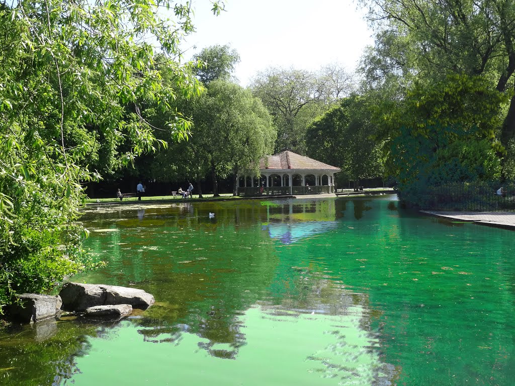
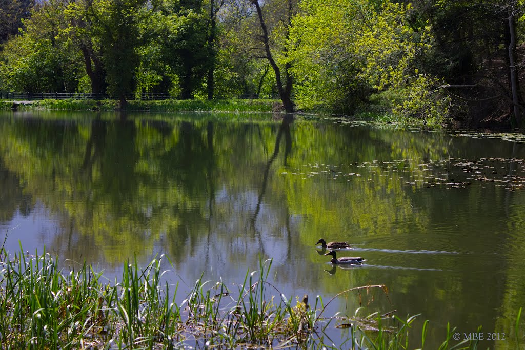
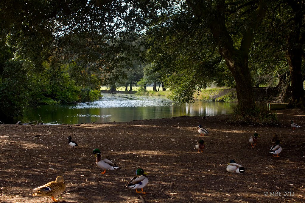
Photos of Cahersiveen
Cahersiveen Weather

Predicción: Broken clouds
Temperatura: 11.8°
Humedad: 67%
Hora actual: 05:02 PM
Amanece: 06:39 AM
Anochece: 08:41 PM
Blanchardstown, Ireland
Latitude: 53.3869 // Longitude: -6.37778
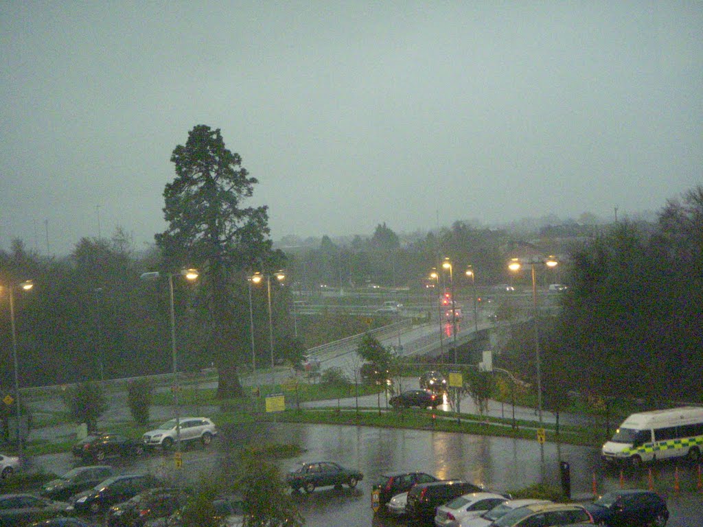
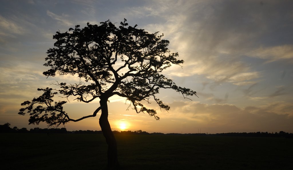
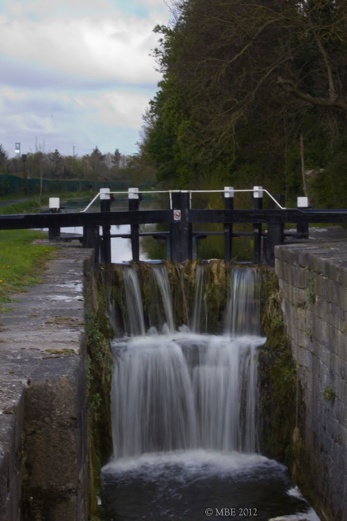
Photos of Blanchardstown
Blanchardstown Weather

Predicción: Light rain
Temperatura: 12.2°
Humedad: 64%
Hora actual: 05:02 PM
Amanece: 06:20 AM
Anochece: 08:29 PM


