Distance between  Bonniconlon and
  Ballyfin
98.48 mi Straight Distance
123.21 mi Driving Distance
2 hours 14 mins Estimated Driving Time
The straight distance between Bonniconlon (Mayo) and Ballyfin (Laois) is 98.48 mi, but the driving distance is 123.21 mi.
It takes to go from Bonniconlon to Ballyfin.
Driving directions from Bonniconlon to Ballyfin
Distance in kilometers
Straight distance: 158.46 km. Route distance: 198.25 km
Bonniconlon, Ireland
Latitude: 54.1091 // Longitude: -9.03075
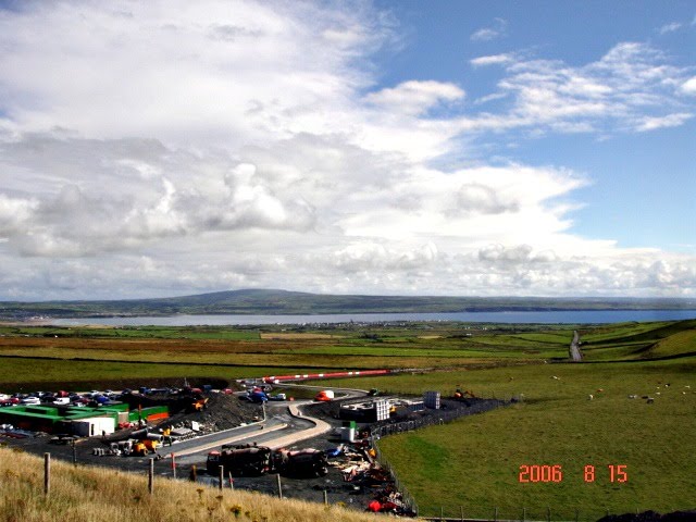
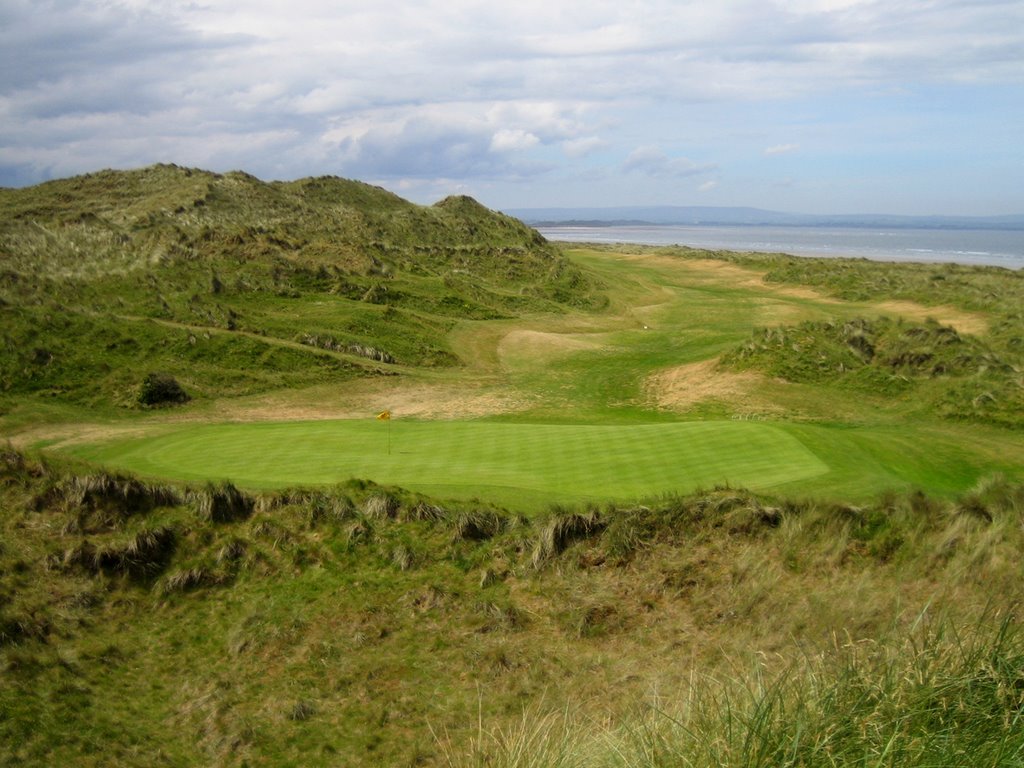
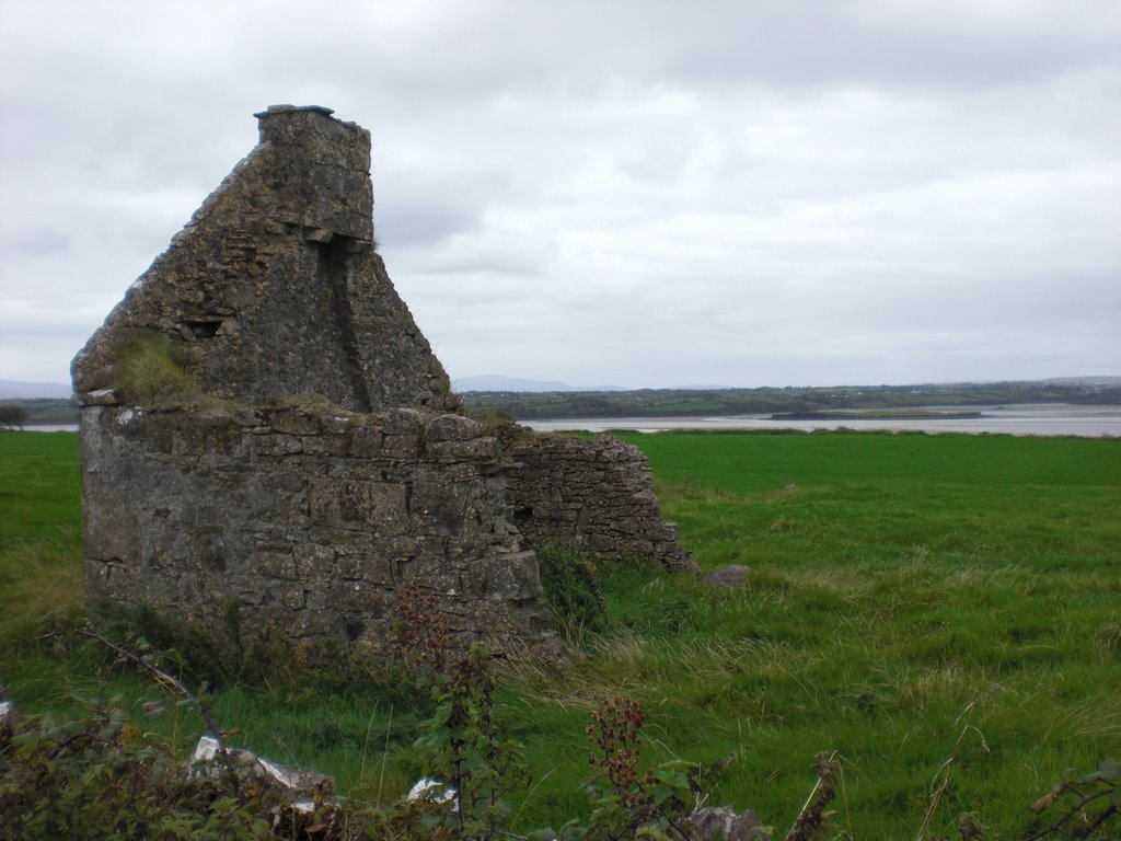
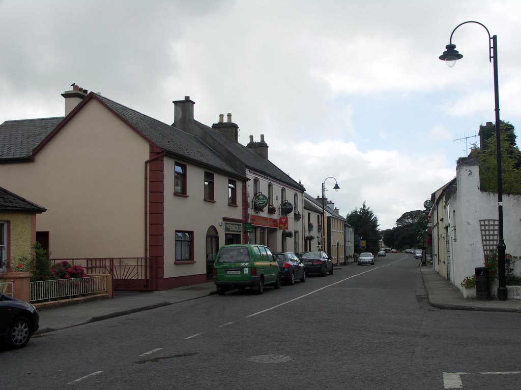
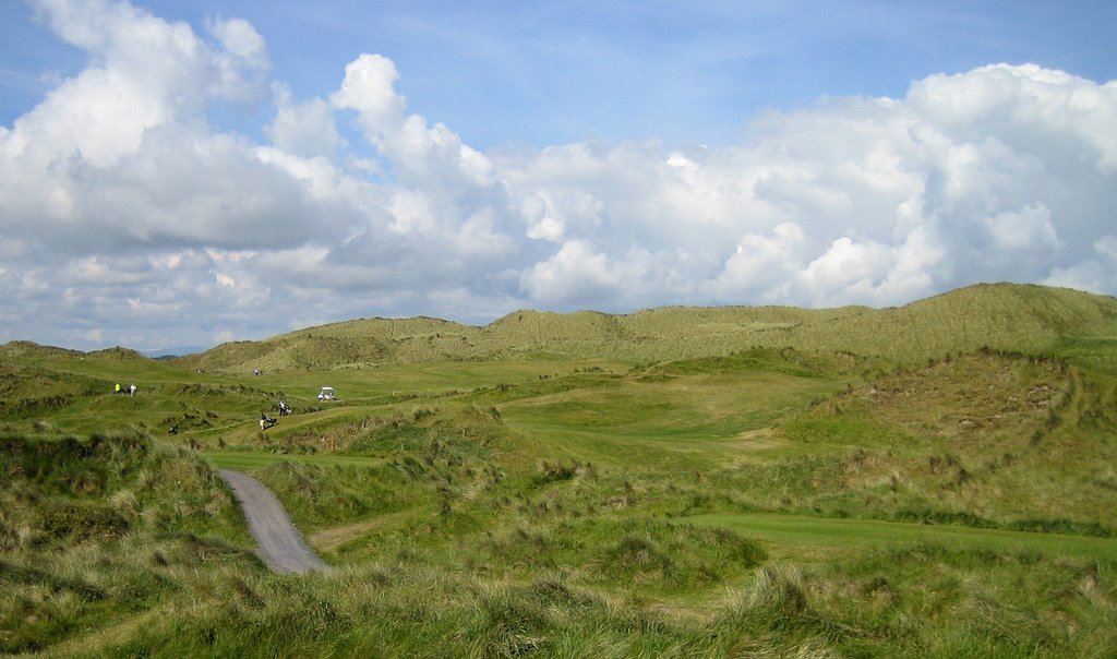
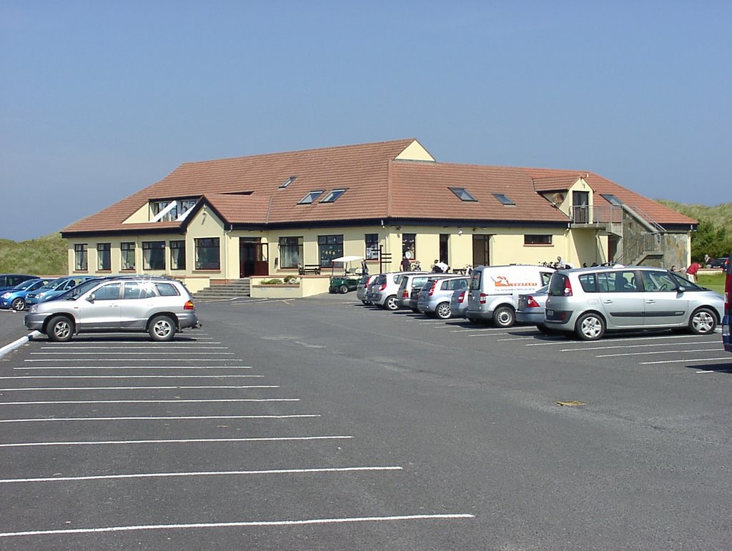
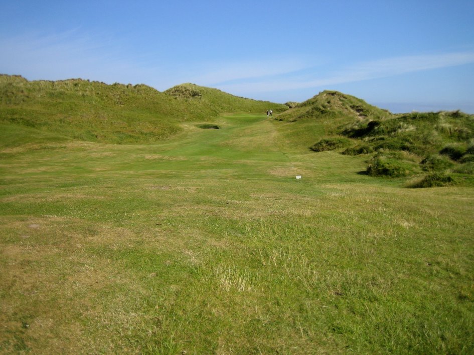
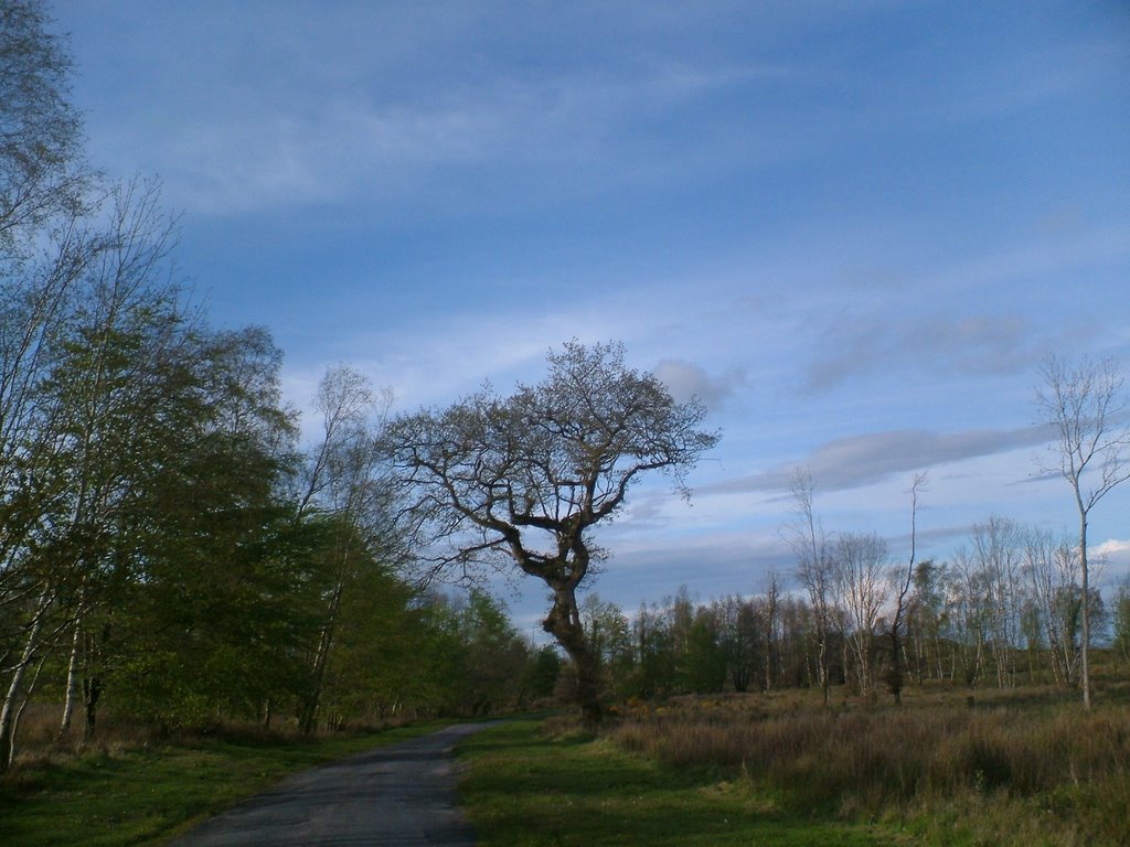
Photos of Bonniconlon
Bonniconlon Weather

Predicción: Overcast clouds
Temperatura: 7.2°
Humedad: 96%
Hora actual: 12:00 AM
Amanece: 05:25 AM
Anochece: 07:45 PM
Ballyfin, Ireland
Latitude: 53.0522 // Longitude: -7.41966
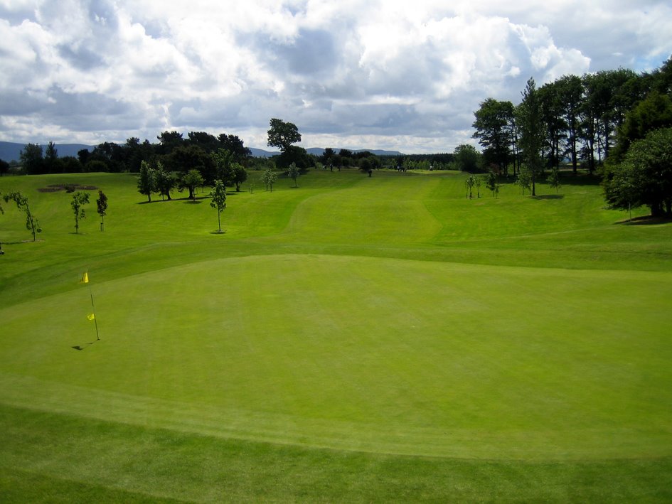
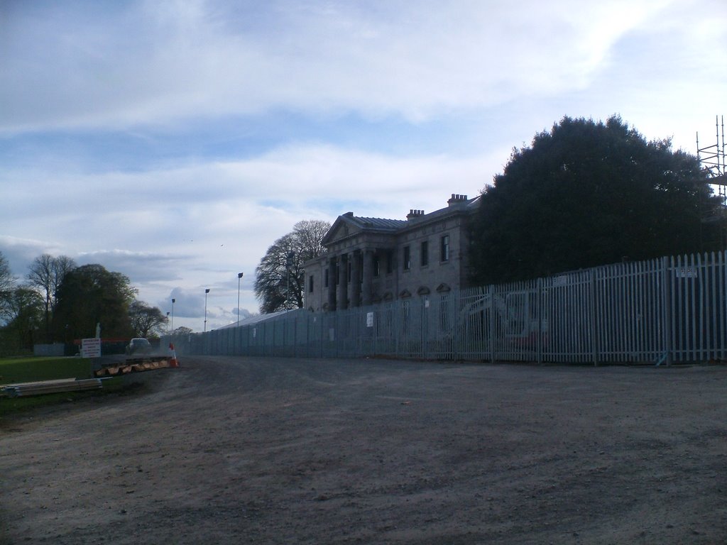
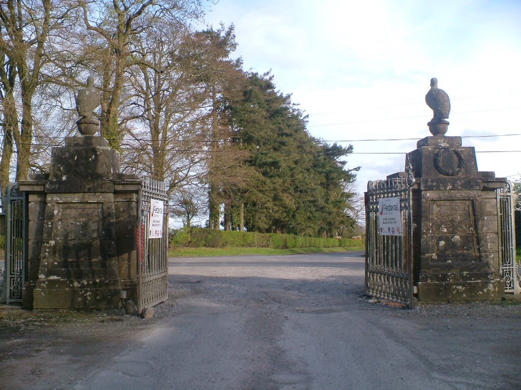
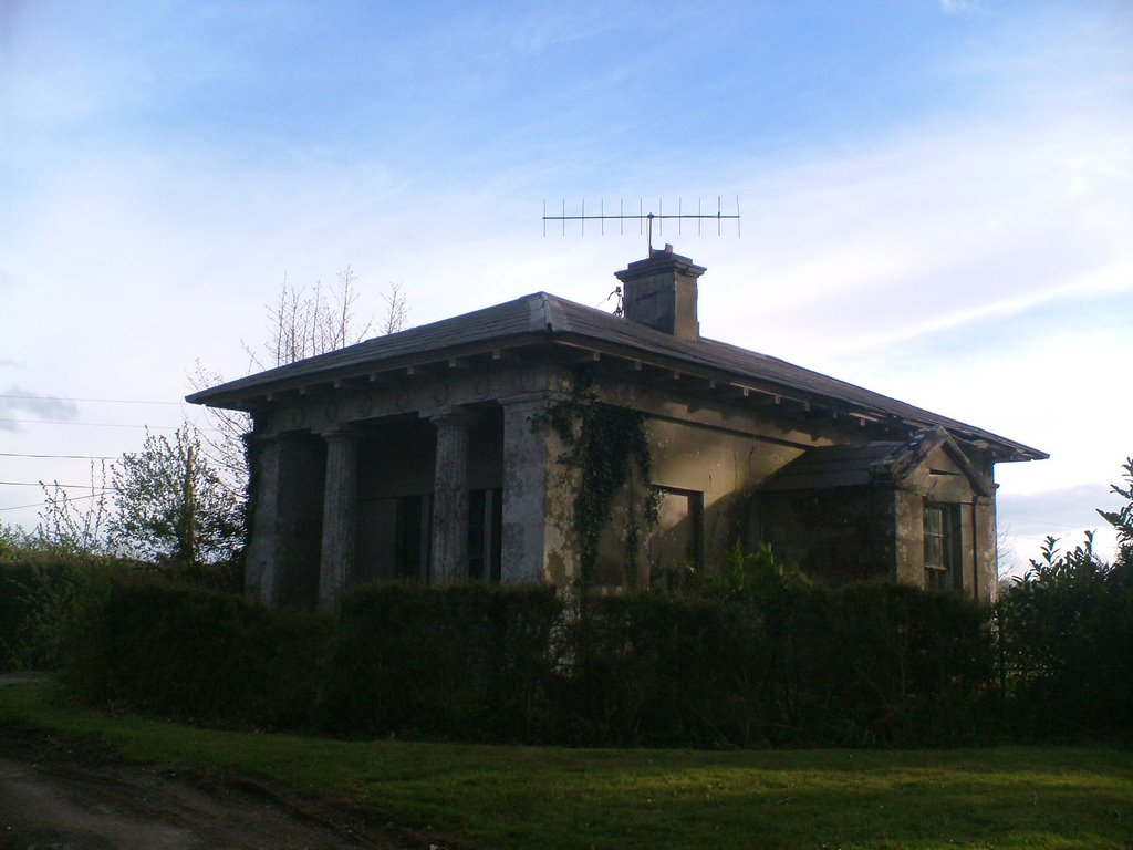
Photos of Ballyfin
Ballyfin Weather

Predicción: Scattered clouds
Temperatura: 6.5°
Humedad: 95%
Hora actual: 07:52 AM
Amanece: 06:21 AM
Anochece: 08:36 PM


