Distance between  Ballyliffin and
  Ballycumber
135.66 mi Straight Distance
178.96 mi Driving Distance
3 hours 38 mins Estimated Driving Time
The straight distance between Ballyliffin (Donegal) and Ballycumber (Offaly) is 135.66 mi, but the driving distance is 178.96 mi.
It takes to go from Ballyliffin to Ballycumber.
Driving directions from Ballyliffin to Ballycumber
Distance in kilometers
Straight distance: 218.28 km. Route distance: 287.95 km
Ballyliffin, Ireland
Latitude: 55.2784 // Longitude: -7.39421
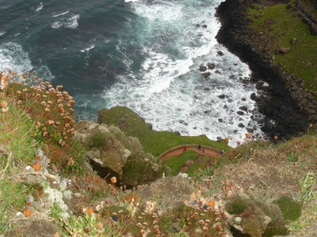
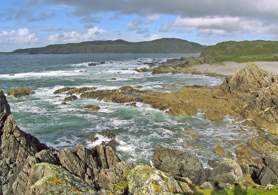
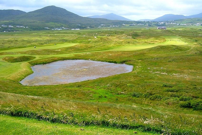
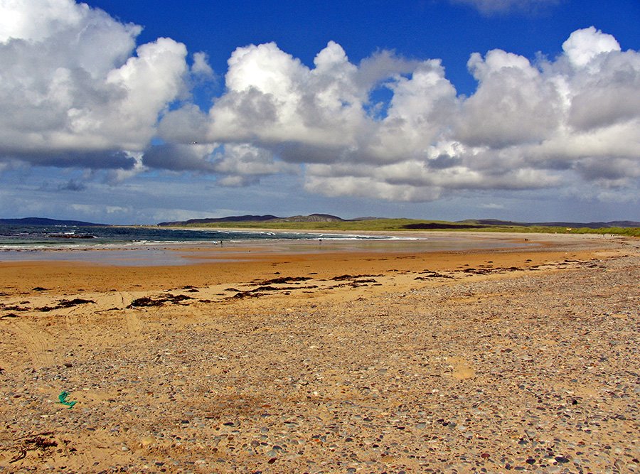
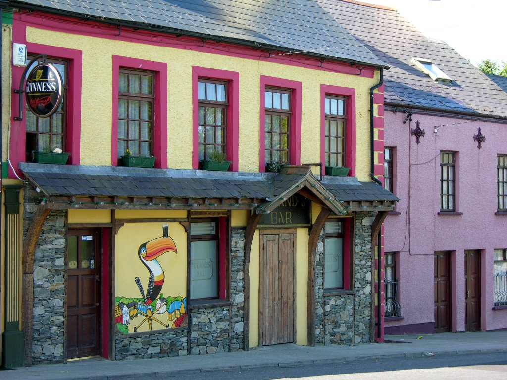
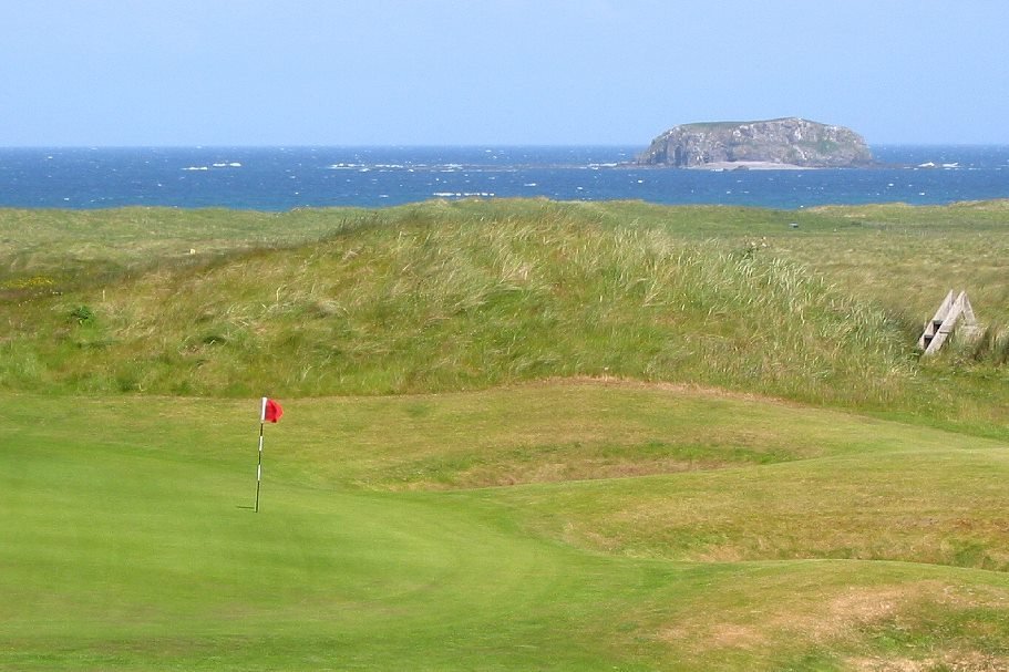
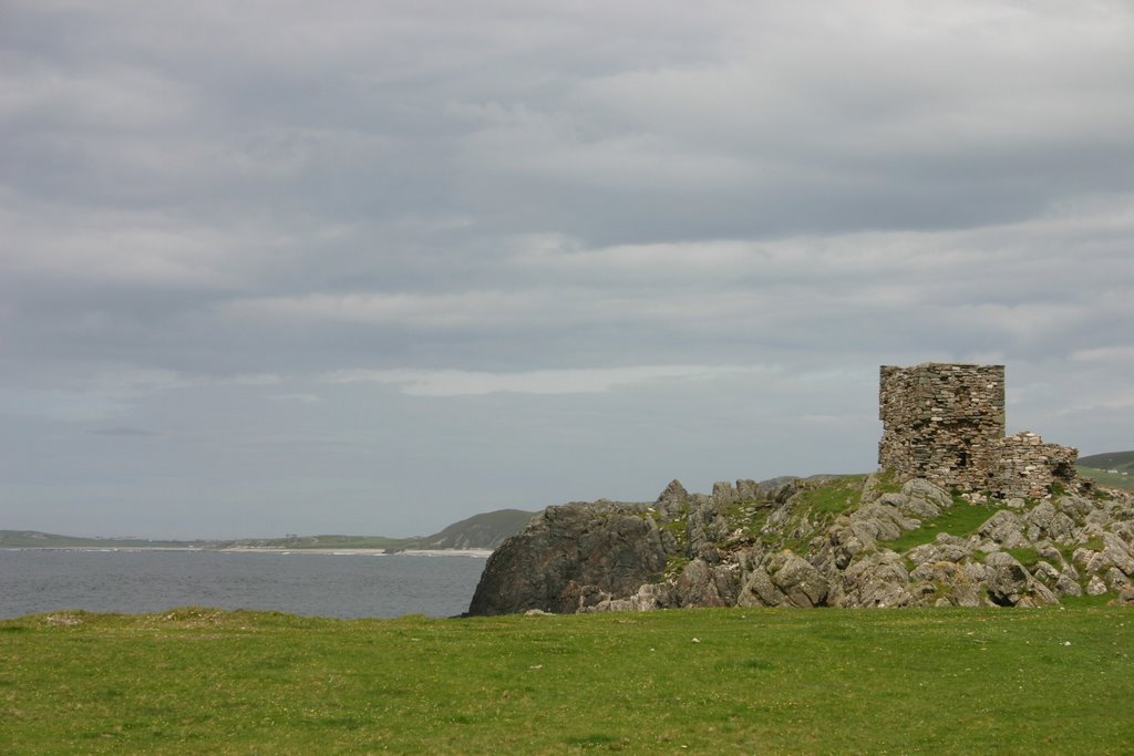
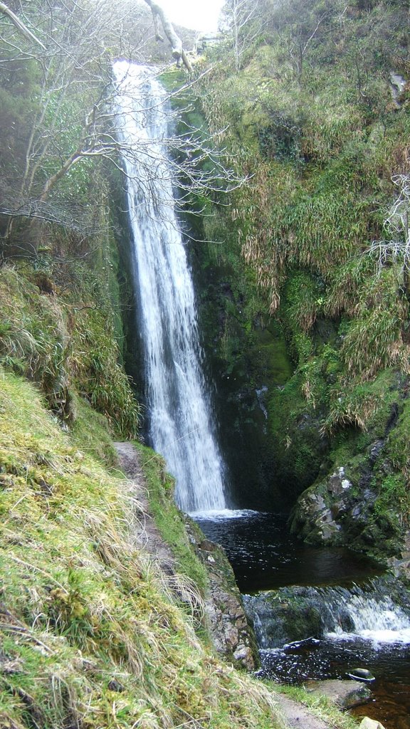
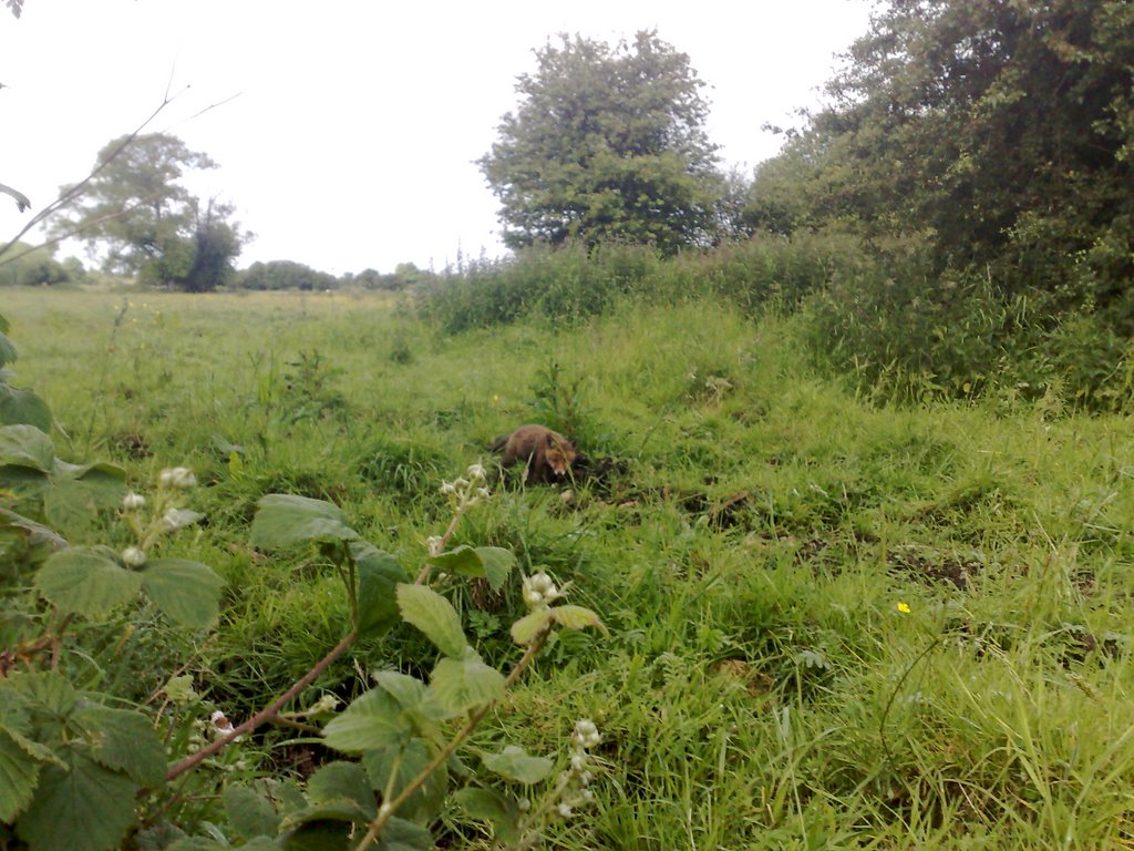
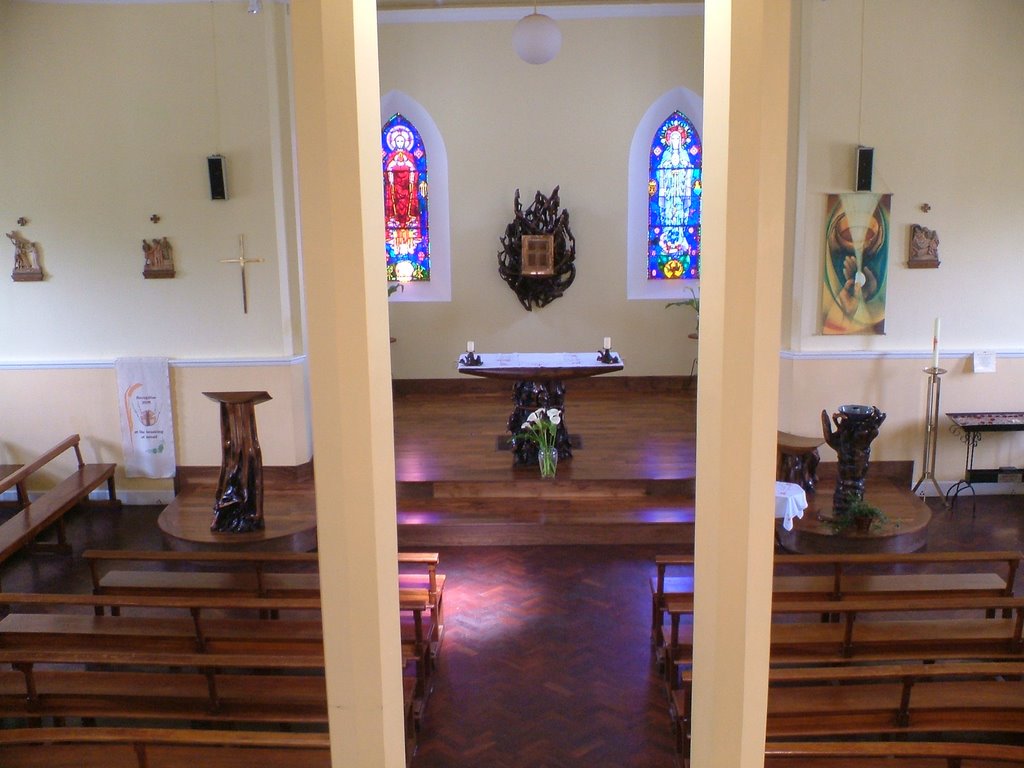
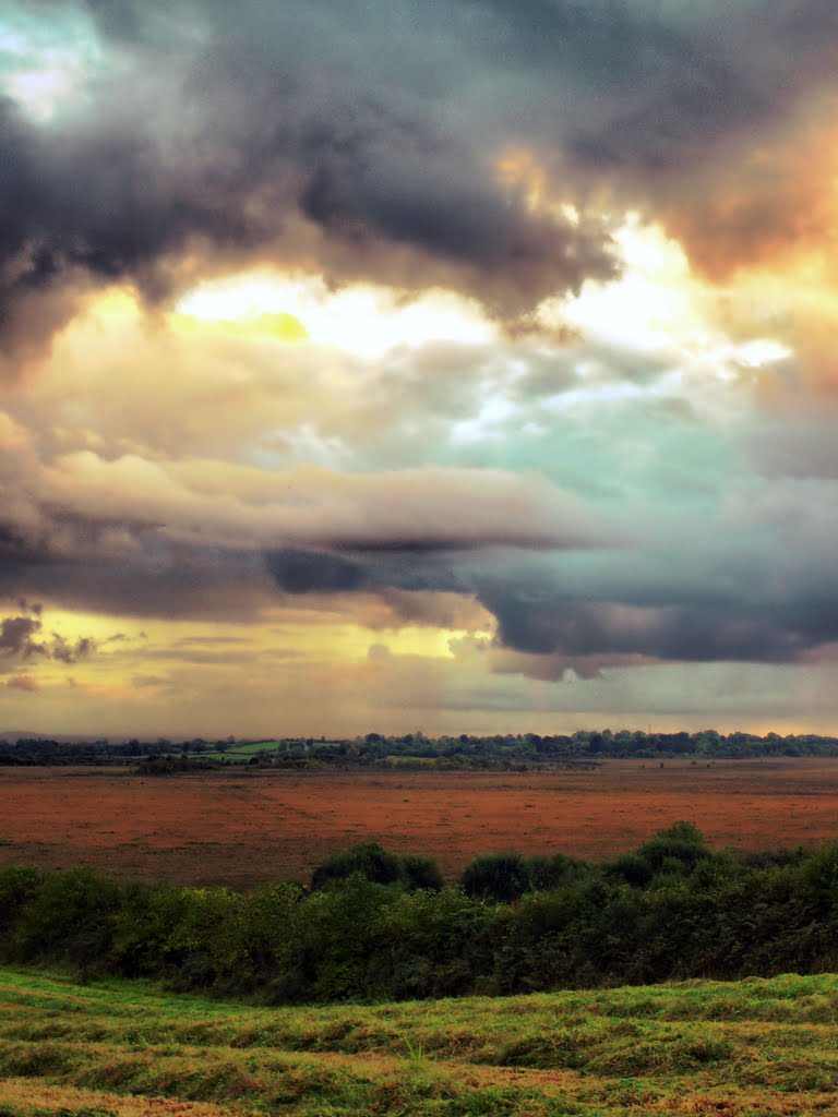
Photos of Ballyliffin
Ballyliffin Weather

Predicción: Overcast clouds
Temperatura: 8.7°
Humedad: 92%
Hora actual: 12:00 AM
Amanece: 05:13 AM
Anochece: 07:43 PM
Ballycumber, Ireland
Latitude: 53.3223 // Longitude: -7.6845
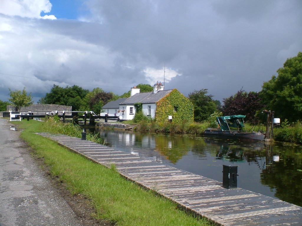
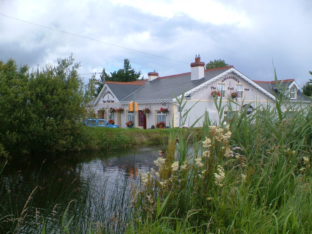
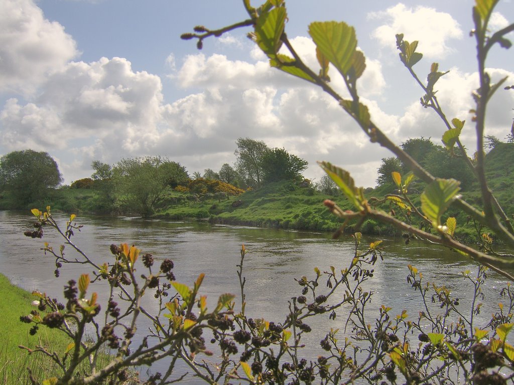
Photos of Ballycumber
Ballycumber Weather

Predicción: Overcast clouds
Temperatura: 9.6°
Humedad: 91%
Hora actual: 02:37 AM
Amanece: 06:19 AM
Anochece: 08:39 PM


