
Distance between  Ballyfin and
  Ballycarney
48.03 mi Straight Distance
54.60 mi Driving Distance
1 hour 7 mins Estimated Driving Time
The straight distance between Ballyfin (Laois) and Ballycarney (Wexford) is 48.03 mi, but the driving distance is 54.60 mi.
It takes to go from Ballyfin to Ballycarney.
Driving directions from Ballyfin to Ballycarney
Distance in kilometers
Straight distance: 77.28 km. Route distance: 87.85 km
Ballyfin, Ireland
Latitude: 53.0522 // Longitude: -7.41966
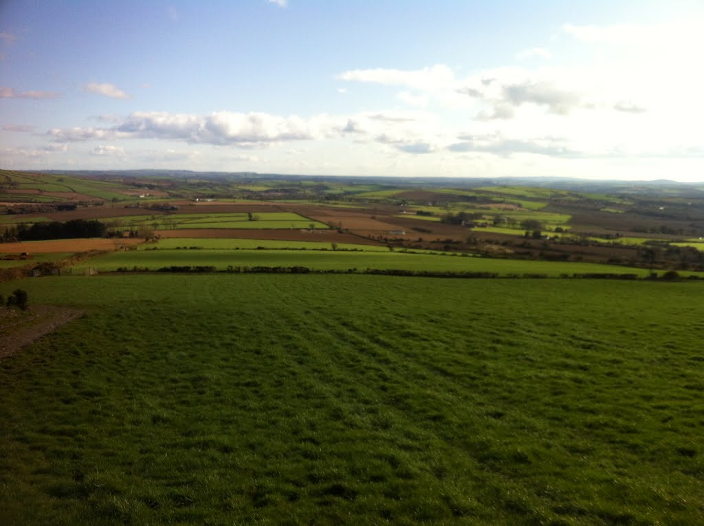
Photos of Ballyfin


Ballyfin Weather

Predicción: Overcast clouds
Temperatura: 10.1°
Humedad: 76%
Hora actual: 01:58 PM
Amanece: 06:25 AM
Anochece: 08:32 PM
Ballycarney, Ireland
Latitude: 52.5827 // Longitude: -6.57135
Photos of Ballycarney


Ballycarney Weather
Predicción: Broken clouds
Temperatura: 11.5°
Humedad: 75%
Hora actual: 01:58 PM
Amanece: 06:23 AM
Anochece: 08:28 PM


