
Distance between  Ballyduff and
  Ballyduff
76.98 mi Straight Distance
92.65 mi Driving Distance
1 hour 49 mins Estimated Driving Time
The straight distance between Ballyduff (Wexford) and Ballyduff (Waterford) is 76.98 mi, but the driving distance is 92.65 mi.
It takes to go from Ballyduff to Ballyduff.
Driving directions from Ballyduff to Ballyduff
Distance in kilometers
Straight distance: 123.86 km. Route distance: 149.07 km
Ballyduff, Ireland
Latitude: 52.4944 // Longitude: -6.31885
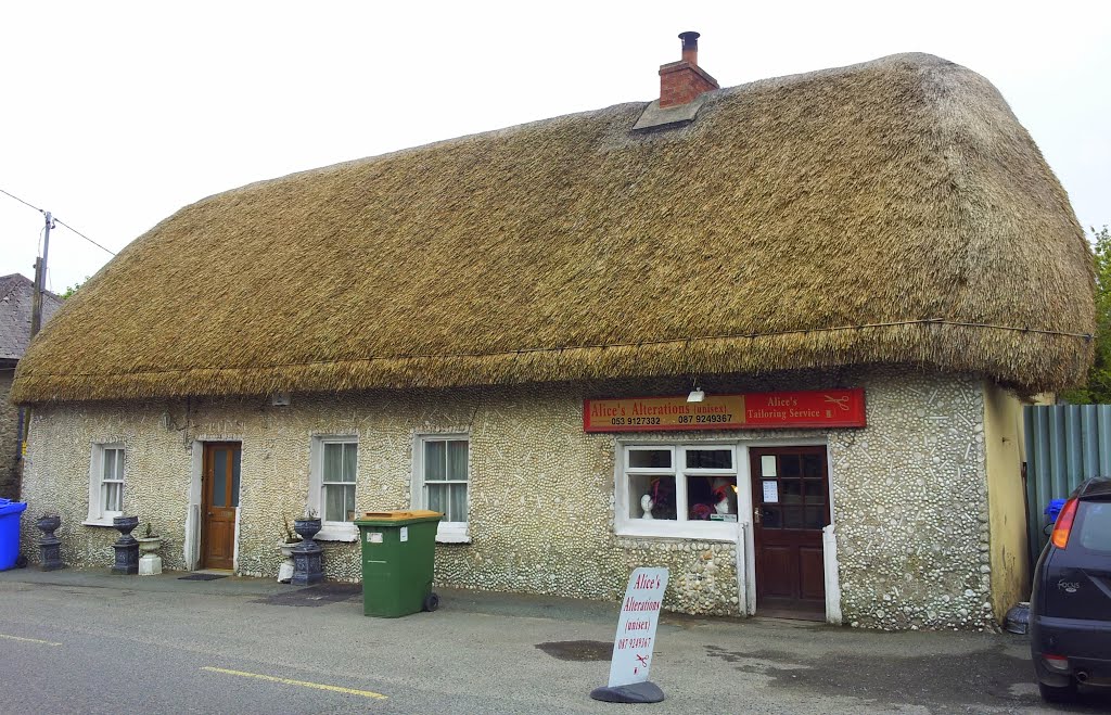
Photos of Ballyduff


Ballyduff Weather

Predicción: Few clouds
Temperatura: 5.7°
Humedad: 99%
Hora actual: 02:53 AM
Amanece: 06:20 AM
Anochece: 08:28 PM
Ballyduff, Ireland
Latitude: 52.1478 // Longitude: -8.05127
Photos of Ballyduff


")

Ballyduff Weather

Predicción: Clear sky
Temperatura: 6.2°
Humedad: 96%
Hora actual: 02:53 AM
Amanece: 06:28 AM
Anochece: 08:34 PM


