
Distance between  Ballycarney and
  Ballindine
124.16 mi Straight Distance
166.72 mi Driving Distance
2 hours 49 mins Estimated Driving Time
The straight distance between Ballycarney (Wexford) and Ballindine (Mayo) is 124.16 mi, but the driving distance is 166.72 mi.
It takes 3 hours 26 mins to go from Ballycarney to Ballindine.
Driving directions from Ballycarney to Ballindine
Distance in kilometers
Straight distance: 199.77 km. Route distance: 268.25 km
Ballycarney, Ireland
Latitude: 52.5827 // Longitude: -6.57135
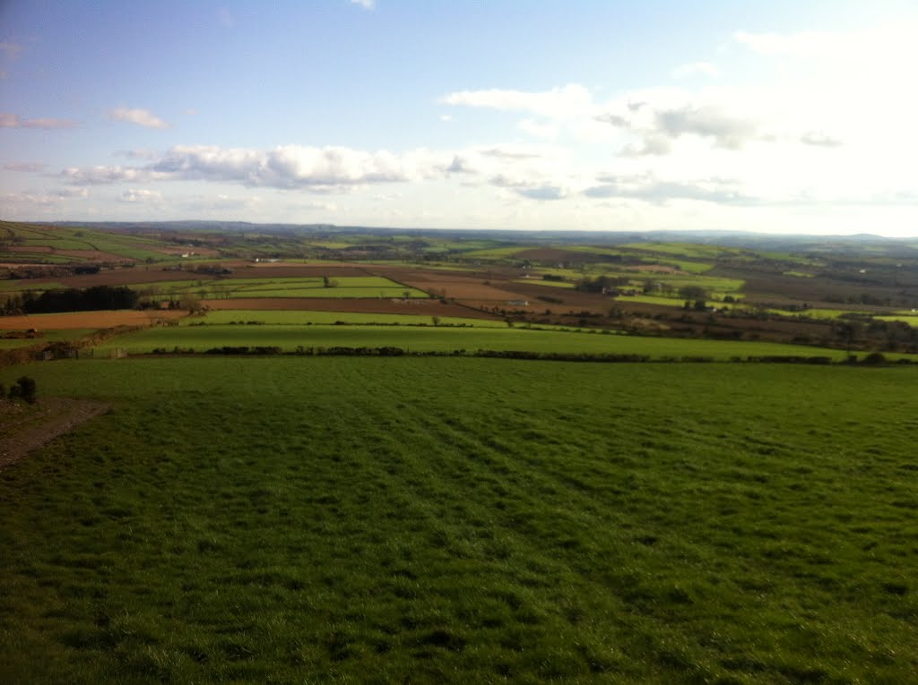
Photos of Ballycarney


Ballycarney Weather

Predicción: Few clouds
Temperatura: 8.2°
Humedad: 95%
Hora actual: 11:44 PM
Amanece: 06:23 AM
Anochece: 08:28 PM
Ballindine, Ireland
Latitude: 53.6693 // Longitude: -8.95673
Photos of Ballindine


Ballindine Weather
Predicción: Few clouds
Temperatura: 6.1°
Humedad: 90%
Hora actual: 11:44 PM
Amanece: 06:30 AM
Anochece: 08:40 PM


