Distance between  Ballycanew and
  Bellanode
118.32 mi Straight Distance
152.04 mi Driving Distance
2 hours 26 mins Estimated Driving Time
The straight distance between Ballycanew (Wexford) and Bellanode (Monaghan) is 118.32 mi, but the driving distance is 152.04 mi.
It takes to go from Ballycanew to Bellanode.
Driving directions from Ballycanew to Bellanode
Distance in kilometers
Straight distance: 190.38 km. Route distance: 244.63 km
Ballycanew, Ireland
Latitude: 52.6107 // Longitude: -6.30497
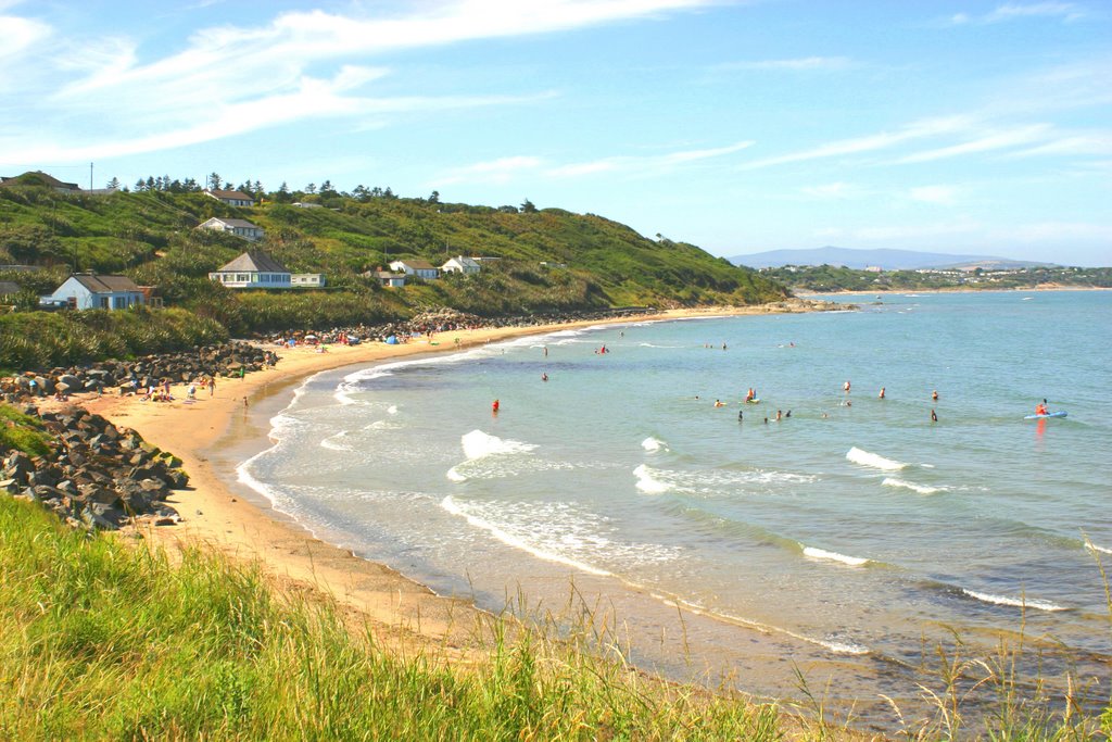
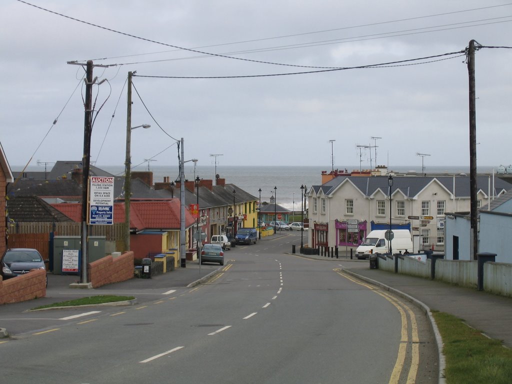
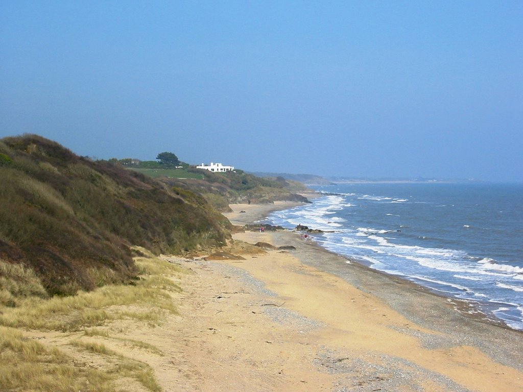
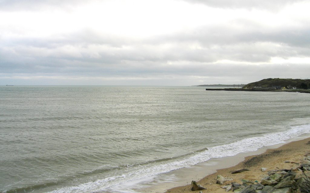
Photos of Ballycanew
Ballycanew Weather

Predicción: Scattered clouds
Temperatura: 8.2°
Humedad: 91%
Hora actual: 11:39 PM
Amanece: 06:22 AM
Anochece: 08:27 PM
Bellanode, Ireland
Latitude: 54.2669 // Longitude: -7.03644
Photos of Bellanode
Bellanode Weather

Predicción: Broken clouds
Temperatura: 4.5°
Humedad: 81%
Hora actual: 11:39 PM
Amanece: 06:21 AM
Anochece: 08:33 PM


