
Distance between  Ballinkillin and
  Athleague
72.95 mi Straight Distance
86.22 mi Driving Distance
1 hour 37 mins Estimated Driving Time
The straight distance between Ballinkillin (Laois) and Athleague (Roscommon) is 72.95 mi, but the driving distance is 86.22 mi.
It takes to go from Ballinkillin to Athleague.
Driving directions from Ballinkillin to Athleague
Distance in kilometers
Straight distance: 117.38 km. Route distance: 138.73 km
Ballinkillin, Ireland
Latitude: 52.843 // Longitude: -6.96902
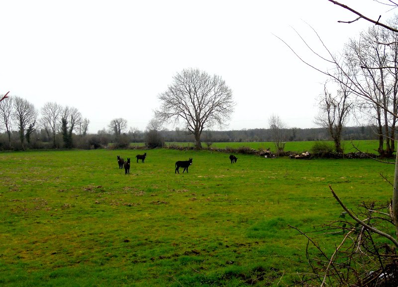
Photos of Ballinkillin


Ballinkillin Weather

Predicción: Clear sky
Temperatura: 11.2°
Humedad: 86%
Hora actual: 08:08 PM
Amanece: 06:20 AM
Anochece: 08:33 PM
Athleague, Ireland
Latitude: 53.5661 // Longitude: -8.2537
Photos of Athleague


Athleague Weather

Predicción: Overcast clouds
Temperatura: 9.8°
Humedad: 85%
Hora actual: 08:08 PM
Amanece: 06:23 AM
Anochece: 08:40 PM


