
Distance between  Ballinascarty and
  Ahascragh
117.35 mi Straight Distance
150.45 mi Driving Distance
2 hours 49 mins Estimated Driving Time
The straight distance between Ballinascarty (Cork) and Ahascragh (Galway) is 117.35 mi, but the driving distance is 150.45 mi.
It takes to go from Ballinascarty to Ahascragh.
Driving directions from Ballinascarty to Ahascragh
Distance in kilometers
Straight distance: 188.82 km. Route distance: 242.08 km
Ballinascarty, Ireland
Latitude: 51.6742 // Longitude: -8.85861
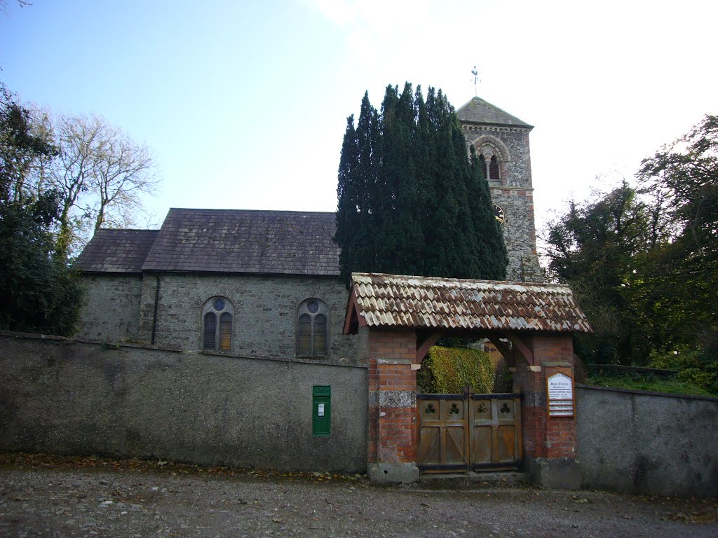
Photos of Ballinascarty


Ballinascarty Weather

Predicción: Overcast clouds
Temperatura: 13.6°
Humedad: 76%
Hora actual: 04:17 PM
Amanece: 06:30 AM
Anochece: 08:38 PM
Ahascragh, Ireland
Latitude: 53.3275 // Longitude: -8.2194
Photos of Ahascragh

, Ireland County Galway")
, Irland County Galway")


Ahascragh Weather
Predicción: Overcast clouds
Temperatura: 13.8°
Humedad: 65%
Hora actual: 04:17 PM
Amanece: 06:23 AM
Anochece: 08:40 PM


