
Distance between  Baile na nGall and
  Aughrim
115.64 mi Straight Distance
166.09 mi Driving Distance
3 hours 4 mins Estimated Driving Time
The straight distance between Baile na nGall () and Aughrim (Galway) is 115.64 mi, but the driving distance is 166.09 mi.
It takes to go from Baile na nGall to Aughrim.
Driving directions from Baile na nGall to Aughrim
Distance in kilometers
Straight distance: 186.07 km. Route distance: 267.24 km
Baile na nGall, Ireland
Latitude: 52.1908 // Longitude: -10.3839
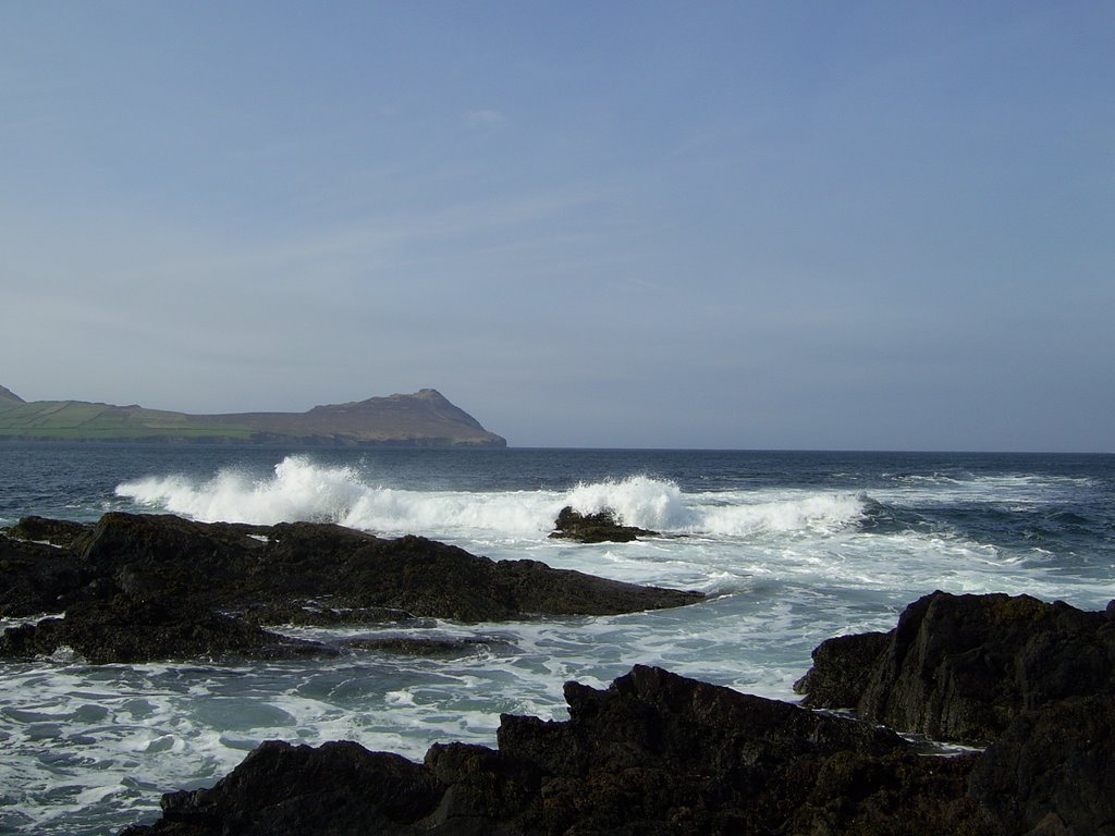
Photos of Baile na nGall
![[Irlanda 1989]](/photos/5761421.jpg "[Irlanda 1989]")


Baile na nGall Weather

Predicción: Overcast clouds
Temperatura: 10.1°
Humedad: 95%
Hora actual: 12:00 AM
Amanece: 05:33 AM
Anochece: 07:47 PM
Aughrim, Ireland
Latitude: 53.3024 // Longitude: -8.31652
Photos of Aughrim

, Ireland County Galway")
, Irland County Galway")


Aughrim Weather
Predicción: Overcast clouds
Temperatura: 9.5°
Humedad: 94%
Hora actual: 02:08 AM
Amanece: 06:22 AM
Anochece: 08:42 PM


