Distance between  Aughrim and
  Aghleam
178.55 mi Straight Distance
241.52 mi Driving Distance
4 hours 35 mins Estimated Driving Time
The straight distance between Aughrim (Wicklow) and Aghleam (Mayo) is 178.55 mi, but the driving distance is 241.52 mi.
It takes 4 hours 52 mins to go from Aughrim to Aghleam.
Driving directions from Aughrim to Aghleam
Distance in kilometers
Straight distance: 287.29 km. Route distance: 388.60 km
Aughrim, Ireland
Latitude: 52.85 // Longitude: -6.31667
Photos of Aughrim
Aughrim Weather

Predicción: Overcast clouds
Temperatura: 11.6°
Humedad: 84%
Hora actual: 03:56 PM
Amanece: 06:17 AM
Anochece: 08:31 PM
Aghleam, Ireland
Latitude: 54.1182 // Longitude: -10.1015
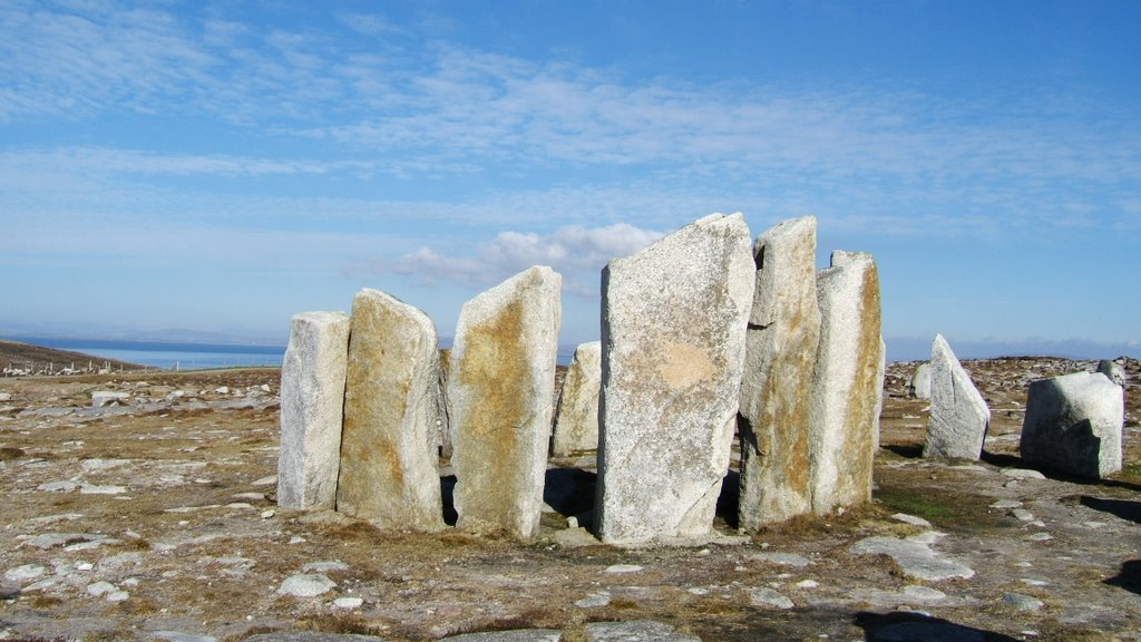
Photos of Aghleam
Aghleam Weather

Predicción: Overcast clouds
Temperatura: 10.2°
Humedad: 84%
Hora actual: 01:00 AM
Amanece: 06:29 AM
Anochece: 08:49 PM


